
Aerial Surveying for Canal Rehabilitation and Bank Mapping
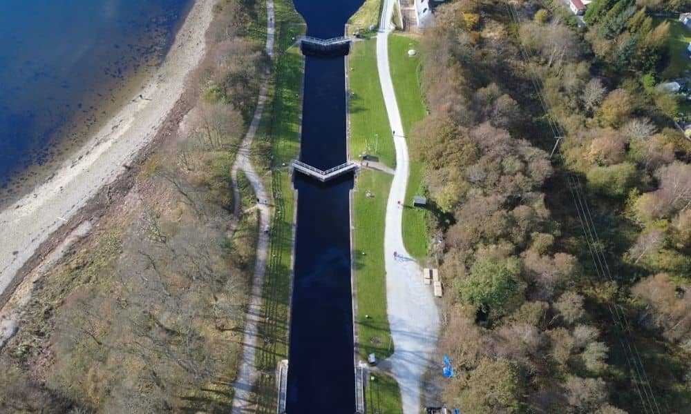
Planning to rehabilitate a canal? You need a clear picture of the corridor first. Canals often run for miles. Many parts are hard to reach on foot. That makes ground survey work slow and costly. Aerial surveying solves this problem. Drones with cameras or LiDAR sensors fly over the canal and capture what is there. […]
Survey Drones Face New FAA BVLOS Rule — Here’s What It Means
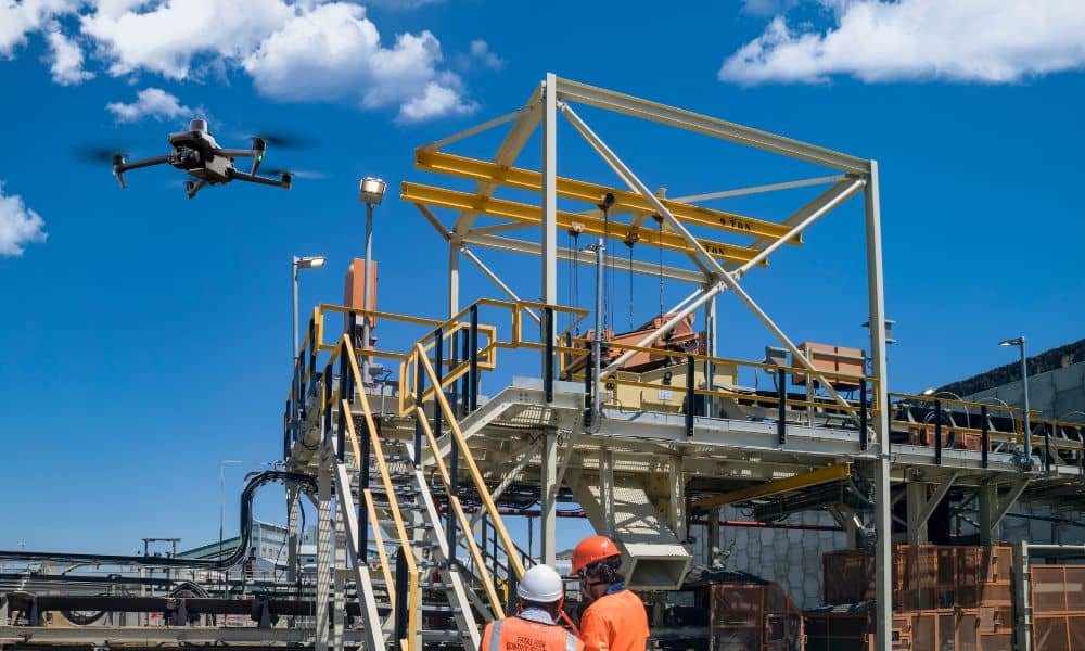
The way survey drones work in the United States could soon change. Earlier this month, the Federal Aviation Administration (FAA) finished collecting public comments on a new rule that may let drone pilots fly Beyond Visual Line of Sight (BVLOS). For surveyors, this could mean covering more ground in less time. The rule, called Part […]