
Aerial Surveying for Canal Rehabilitation and Bank Mapping
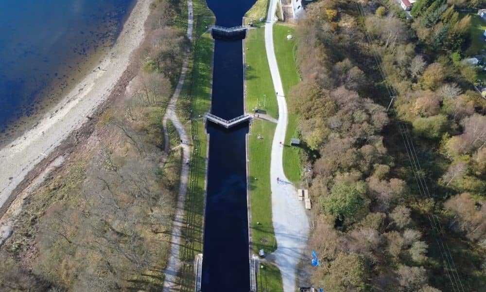
Planning to rehabilitate a canal? You need a clear picture of the corridor first. Canals often run for miles. Many parts are hard to reach on foot. That makes ground survey work slow and costly. Aerial surveying solves this problem. Drones with cameras or LiDAR sensors fly over the canal and capture what is there. […]