Building a home or commercial structure is a major investment—and precision is key to getting it right. One of the most overlooked, yet essential steps in any construction project is construction staking. Without it, builders risk costly errors, project delays, and even compliance issues.
So, what exactly is construction staking, and why is it so critical—especially in cities like Phoenix, Arizona, where terrain, zoning, and extreme weather all come into play? In this guide, we’ll break it down for property owners, developers, and contractors, explaining why staking matters and how it protects your project from the ground up.
What Is Construction Staking?
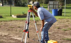
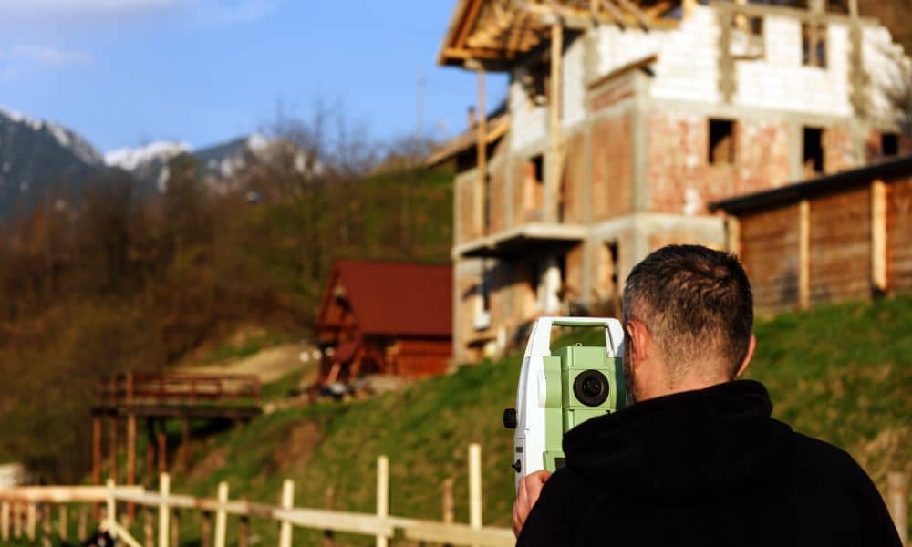
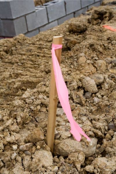
Construction staking is the process of translating building plans from paper to the physical job site. A licensed land surveyor places wooden stakes or markers on the ground to show where structures, utilities, or grading elements should go.
This service ensures that everything from walls to water lines is built exactly where it’s supposed to be, according to the engineer’s or architect’s plans.
How It’s Different from Other Surveys
- Boundary Survey: Defines legal property lines.
- Topographic Survey: Maps land features and elevations.
- Construction Staking: Converts design plans into physical ground reference for construction crews.
In essence, staking bridges the gap between planning and building.
Types of Construction Staking
Depending on your project, different types of staking may be needed:
1. Rough Grade Staking
Outlines general site grading to prepare for excavation or land shaping.
2. Foundation Staking
Marks the exact position of the building’s corners, walls, and footing trenches.
3. Utility and Curb Staking
Used for underground utility lines, sidewalks, parking lots, and curbs—especially in subdivisions and commercial developments.
4. Final Grade Staking
Ensures driveways, walkways, and landscaping conform to final design elevations.
Why Construction Staking Matters
Skipping construction staking—or doing it inaccurately—can lead to serious consequences:
- Costly Rework: Imagine pouring a foundation only to realize it’s off by two feet.
- Permit Issues: Many municipalities require staking to pass inspections.
- Project Delays: Errors in layout can set schedules back by weeks.
- Legal Problems: Building over a setback or onto a neighbor’s property can result in fines or lawsuits.
In fast-growing regions like Phoenix, where zoning regulations are tight and land is valuable, getting this step right is non-negotiable. That’s why relying on professional construction surveying is key to ensuring accuracy, compliance, and peace of mind before you break ground.
Construction Staking Considerations
Phoenix presents specific challenges that make construction staking especially important:
- Varied Terrain: From flat deserts to sloping lots, terrain affects grading and drainage.
- Strict Zoning: City regulations require precise setbacks, heights, and lot coverage.
- Monsoon Storms: Poor drainage planning can lead to flooding or erosion if slopes aren’t correctly staked.
Whether you’re building a modern home in Arcadia or a commercial plaza in North Phoenix, staking ensures your site layout meets both your vision and local code.
When to Schedule Construction Staking
Ideally, construction staking should be scheduled after the final design is approved but before any physical work begins. Some developers also schedule re-staking at major phases, such as before concrete pours or utility installation.
Coordination Tip: Work closely with your land surveyor and contractor to ensure staking matches current construction timelines and permit deadlines.
Who Performs Construction Staking?
Only a licensed land surveyor or civil engineering team should perform staking. These professionals use GPS, total stations, and CAD files to interpret site plans and mark precise points on the ground. Partnering with experts who offer complete construction staking services ensures the layout aligns with both design intent and local compliance requirements.
Using unqualified personnel can lead to misinterpretation of plans—and major financial risks.
Real-World Example: Phoenix Home Construction
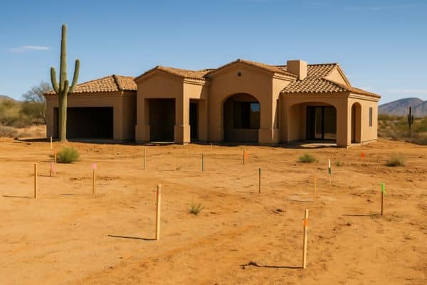
A homeowner in Phoenix’s Ahwatukee Foothills hired a local contractor for a custom build. Before pouring the foundation, their surveyor performed foundation and utility staking.
This revealed that one of the planned retaining walls was encroaching on a drainage easement. Thanks to staking, the layout was corrected—avoiding a $25,000 rework and a failed inspection.
Cost of Construction Staking
Construction staking costs depend on:
- Site size and complexity
- Number of features to be staked
- Local terrain or accessibility issues
- Repeat visits or phases
Typical Cost Range in Phoenix:
- Residential projects: $500–$2,000
- Larger commercial or phased projects: $2,000–$5,000+
Get a quote from a local licensed land surveyor familiar with Phoenix codes and topography.
Common Mistakes to Avoid
- Skipping staking altogether
- Using old or unverified plans
- Failing to confirm stakes before excavation
- Allowing stakes to be moved without checking
Pro Tip: Take photos of stakes as documentation, and double-check with your builder before digging begins.
Conclusion: Stake Before You Break Ground
Whether you’re building a dream home or a commercial facility, construction staking is one of the smartest early investments you can make. It ensures your project begins with accuracy, protects your budget, and aligns your site with local requirements—especially in places like Phoenix, where precision matters more than ever.
FAQs
1. Is construction staking required by law in Phoenix?
It’s often required for permit approval or inspections, especially for large-scale or engineered builds.
2. Can staking be done with GPS or drones?
Yes, most modern surveyors use GPS for precise layout—but field verification with physical stakes is still standard.
3. How long does staking take?
A typical residential layout can be staked in 1–2 days. Larger sites may take several days or phases.
4. What happens if I skip staking?
You risk building in the wrong spot, violating zoning rules, or failing inspections—all of which cost time and money.
5. Can I reuse staking from a previous project phase?
Not recommended. Always re-stake if plans change or grading alters the ground.
6. Who is responsible for verifying staked points?
Your surveyor sets them, but your contractor must build according to them. Both teams should coordinate closely.

