Thinking of Buying Raw Land? Why Land Surveying Matters
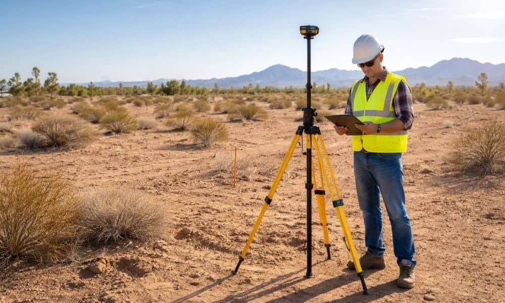
Bullhead City is growing. New homes and small developments keep moving east where more land is still open. Because of that, many buyers now look at raw land instead of finished lots. At first glance, it looks simple. Flat ground. Wide space. Lower price. But raw land can fool you. What you see is not […]
LiDAR Mapping for Wash Lots Before You Build
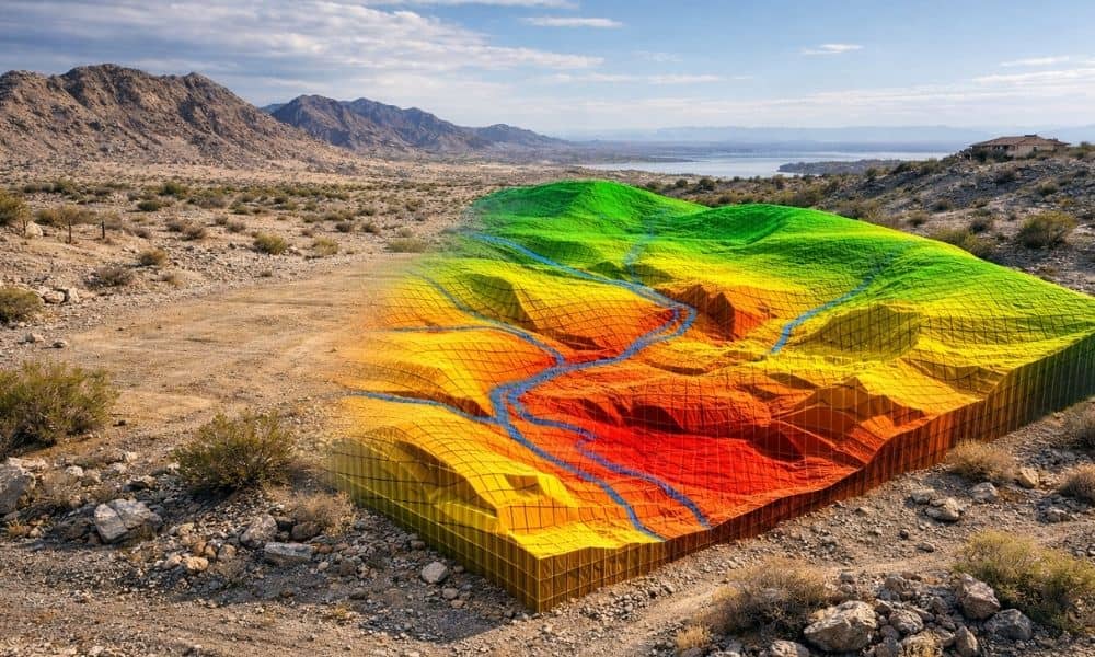
Buying land in Lake Havasu can feel simple at first. You find a lot that looks flat, dry, and easy to work with. It seems like you can start planning right away. However, many buyers and builders run into trouble later, especially when the lot sits near a wash. At first glance, nothing looks wrong. […]
Why Closings Get Delayed Without a Loan Closing Survey
Buying a home should feel like the final step—but for many buyers, unexpected delays happen right before closing. A common reason is missing or incomplete documentation. A loan closing survey is one of the key items lenders rely on to confirm property details before approving the final transaction. Why Buyers Are Surprised During Closing This […]