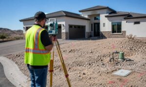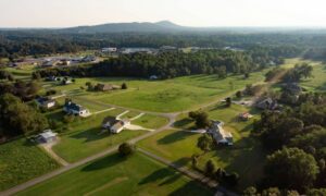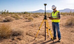
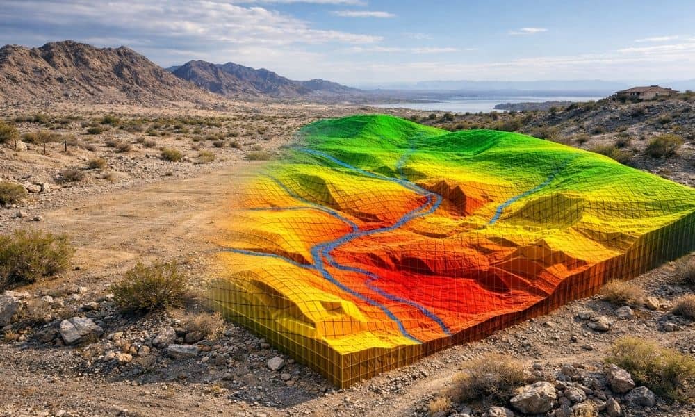
Buying land in Lake Havasu can feel simple at first. You find a lot that looks flat, dry, and easy to work with. It seems like you can start planning right away. However, many buyers and builders run into trouble later, especially when the lot sits near a wash. At first glance, nothing looks wrong. The ground appears even. The surface feels solid. Yet when storms come through, water starts moving across the land in ways that were not obvious before. That is usually the moment people realize they need a better understanding of what the land is actually doing. That is where lidar mapping for wash lots becomes useful, because it gives a clearer picture before you make decisions that are hard to undo later.
Why Wash Lots in Lake Havasu Can Be Deceptive
Wash lots do not behave like typical residential lots. Most of the year, they look dry and stable, so it is easy to assume the land is ready to build on.
However, that is where things can go wrong.
In Lake Havasu, water does not flow all the time. It shows up during storms, and when it does, it follows paths that are not easy to see just by standing on the lot. Small dips, slight slopes, and uneven areas quietly guide water across the property. Most people do not notice how it all connects until they start using lidar mapping to read the terrain and see the full picture.
Because of this, a lot that seems safe at first can actually carry runoff during heavy rain. In some cases, that flow can pass right through the area where you planned to build.
Where Early Decisions Go Wrong
Most problems do not come from the land itself. They come from decisions made too early, before the full picture is clear.
For example, someone might pick a building spot based only on what they see. At the same time, they may plan a driveway that looks fine on the surface. Then once the design process begins, issues start to show up.
The building pad may sit in a low area. The driveway might cross uneven ground. Grading may end up being more complex than expected.
Because of that, plans change. Costs go up. Timelines get pushed back. All of this happens simply because the land was not fully understood from the start.
How LiDAR Mapping Helps You See the Full Picture
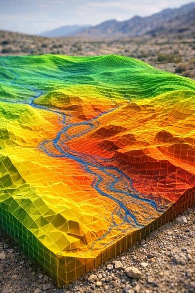
Instead of relying on guesswork, lidar mapping gives you a clearer view of the land. It shows subtle elevation changes that are easy to miss when you are standing on the lot.
With that, you can see how water is likely to move. You can also spot areas that are higher, lower, or uneven. It becomes much easier to understand how the land behaves, not just how it looks.
Because of that, you can make better decisions before any design work begins. You are not reacting to problems later. You are avoiding them early.
Planning a Building Pad Without Surprises
Choosing where to place your home is one of the biggest decisions you will make. On a wash lot, that choice is not always as clear as it seems.
A spot that looks level might sit in a path where water collects. Another area may require more grading than expected.
With lidar mapping, you can compare different parts of the lot with confidence. You can find a location that sits at a better elevation and avoids problem areas.
This helps reduce the need for changes later and makes the design process smoother from the start.
Driveway Access Is Not Always Simple
Driveway planning often seems straightforward. Still, on uneven desert terrain, it can become more complicated than expected.
Some lots have slopes that are hard to judge by eye. Others have breaks in the terrain that affect how a driveway can be built. In some cases, access may cross areas where water flows during storms.
Without clear data, a driveway that looks good on paper may not work well in reality.
With lidar mapping, you can see the land more clearly and plan a driveway that follows a more stable path while avoiding problem areas.
Avoiding Costly Changes During Construction
This is where mistakes become expensive.
Once construction starts, any issue that was missed earlier becomes harder to fix. Crews may run into unexpected elevation changes. Water may move toward the building site in ways that were not planned for. Adjustments may be needed on the spot, which slows everything down.
When lidar mapping is done early, those surprises become much less likely. You already understand the land before construction begins.
Because of that, your plans stay consistent and your project moves forward without major setbacks.
Timing Makes a Big Difference
Many people wait too long to gather detailed site data. By then, they may already have a layout that needs to be changed.
It is much better to use lidar mapping before key decisions are made. That includes before buying the lot, before finalizing a design, and before starting grading plans.
When you start with accurate information, everything else becomes easier to manage.
Why This Matters for Lake Havasu Property Owners
Lake Havasu has a unique mix of terrain. The desert landscape, rocky ground, and seasonal water flow all affect how a lot behaves.
Because of that, two properties that look similar can act very differently once building starts.
Relying on appearance alone often leads to mistakes. Using tools like lidar mapping gives you a clearer understanding of what you are working with.
That clarity helps you move forward with better decisions and fewer risks.
Building with Confidence Starts with Better Data
A wash lot is not a bad choice. It just requires more attention early in the process.
When you take the time to understand the land, planning becomes easier. You can place your building pad in the right spot, design your driveway more effectively, and avoid unnecessary changes later.
In the end, the goal is simple. You want a smooth project without unexpected setbacks.
LiDAR mapping helps make that possible by showing you what the land is really doing before you build.