With monsoon storms, desert drainage systems, and unpredictable flash flooding, flood risk is a real concern in many parts of Arizona. Whether you’re buying a home, building a commercial property, or seeking flood insurance, understanding the land’s elevation is crucial. This is where tools like an elevation survey and the FEMA Elevation Certificate come into play. Though often confused, these two documents serve different purposes—and in some cases, you may need both.
What Is an Elevation Survey?
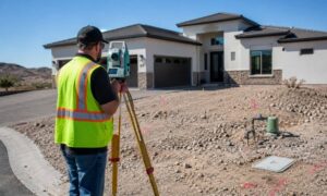
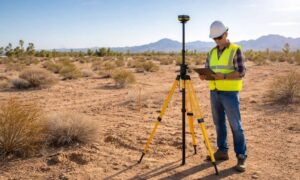
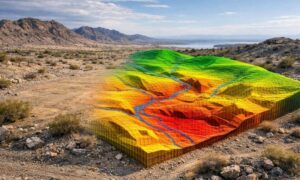
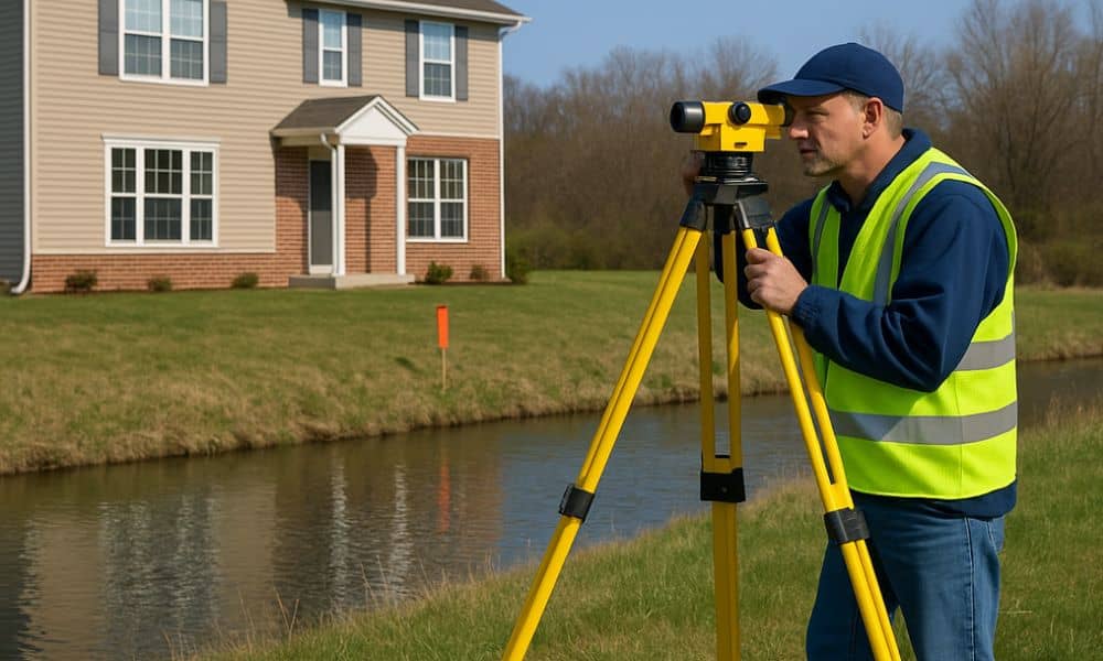
An elevation survey is a detailed measurement of the vertical dimensions of land. Conducted by a licensed land surveyor, this survey captures:
- Natural ground elevations
- Building heights and foundation levels
- Drainage slopes and floodplain contours
It’s commonly used in construction, civil engineering, and topographic analysis, ensuring that structures are properly planned and designed in relation to their surroundings.
What Is a FEMA Elevation Certificate?
A FEMA Elevation Certificate is an official document that outlines a structure’s elevation relative to the Base Flood Elevation (BFE) as determined by FEMA flood maps. It is:
- Issued by a licensed surveyor or engineer
- Required by the National Flood Insurance Program (NFIP)
- Often needed to obtain or reduce flood insurance premiums
It provides essential data to insurance providers, local building officials, and homeowners to evaluate flood risk and regulatory compliance.
Key Differences Between Elevation Surveys and FEMA Elevation Certificates
| Aspect | Elevation Survey | FEMA Elevation Certificate |
| Purpose | Design, construction, topographic planning | Insurance, FEMA flood compliance |
| Includes Structures? | Yes, but can also survey vacant land | Yes, must include building elevations |
| Issued By | Licensed land surveyor | Licensed land surveyor or engineer |
| Accepted By FEMA? | No, not valid alone for NFIP | Yes, official FEMA form |
| Format | Custom report or CAD drawing | Standardized FEMA document |
| Cost Range in Arizona | $500–$1,200 | $400–$700 |
When Do You Need an Elevation Survey?
You typically need an elevation survey when:
- Planning new construction
- Grading or draining land
- Preparing for a topographic or site development plan
- Working with engineers or architects
It’s especially useful for properties in hilly or flood-prone areas where land elevation significantly affects design decisions.
When Do You Need a FEMA Elevation Certificate?
You need a FEMA Elevation Certificate when:
- Buying a home in a FEMA-designated flood zone
- Applying for or renewing flood insurance
- Trying to reduce your NFIP premiums
- Proving compliance with local floodplain management laws
Without it, insurers will often assume the highest risk rating, resulting in expensive premiums.
Do You Need Both Documents?
In many cases, yes. Here’s how they complement each other:
- You might start with an elevation survey to plan construction.
- That data can then be used to generate a FEMA Elevation Certificate once the structure is built.
This dual approach ensures both engineering precision and insurance compliance.
Cost Comparison: Elevation Survey vs. FEMA Certificate
The cost of an elevation survey in Arizona usually ranges from $500 to $1,200, while a FEMA Elevation Certificate can cost between $400 to $700.
Factors that affect pricing include:
- Size and location of the property
- Complexity of terrain
- Type of structure
- Required turnaround time
For a more detailed breakdown, refer to our property survey cost and pricing guide.
Who Can Issue These Documents in Arizona?
Both elevation surveys and FEMA Elevation Certificates must be conducted by a licensed land surveyor in Arizona or a qualified civil engineer. Always verify credentials before hiring, especially if FEMA compliance is required.
How to Check If Your Property Needs an Elevation Certificate
To find out whether your property is in a Special Flood Hazard Area (SFHA):
- Visit the FEMA Flood Map Service Center
- Enter your property address
- Check the flood zone designation
- Consult your insurance agent or local planning department
This quick check can determine whether you’re required to obtain an elevation certificate.
Benefits of Getting the Right Documentation
Having the correct elevation documentation offers several advantages:
- Insurance savings: Lower premiums for lower-risk elevations
- Regulatory compliance: Meet FEMA and local code requirements
- Construction accuracy: Prevent structural drainage issues
- Peace of mind: Know your risk level and plan accordingly
How to Order an Elevation Certificate or Survey in Arizona
Follow these steps:
- Contact a licensed land surveyor
- Request a quote for your property type and needs
- Schedule a site visit
- Receive your documentation (digital and/or physical)
In urgent situations, expedited services may be available for an additional fee.
Elevation Documents Are Smart Protection Tools
Understanding the difference between an elevation survey and a FEMA Elevation Certificate is more than a technical detail—it’s a financial and legal safeguard. Whether you’re building in a desert valley or buying near a floodplain in Arizona, these documents ensure you’re covered, compliant, and confident in your investment.
FAQs
Q1: Can I use an old elevation certificate?
A certificate is only valid if no structural changes have occurred and the flood map hasn’t been updated.
Q2: Is an elevation survey enough for insurance?
No, you need a FEMA Elevation Certificate specifically for insurance purposes.
Q3: Who files the elevation certificate with FEMA?
You or your insurance agent submit it; the surveyor just prepares the document.
Q4: What happens if I don’t get one in a flood zone?
You may pay significantly higher insurance premiums or be denied coverage.
Q5: Can the elevation certificate be used for building permits?
Yes, it is often accepted by local zoning departments for permit approval.
Q6: How long does the process take?
Typically 5–10 business days, depending on the complexity and availability of data.