Why a Post-Storm Topographic Survey Is Critical
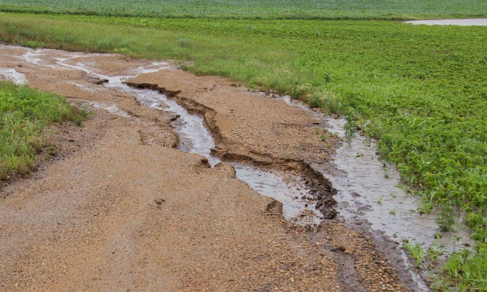
Arizona has seen heavy storms and flash floods in recent days, leaving behind damaged roads, overflowing washes, and heartbreaking losses. For many families and businesses, including Kingman, the land itself has changed in ways that aren’t always visible at first glance. That’s where a topographic survey becomes critical. After major floods, the ground doesn’t look […]
Why Construction Staking Is Crucial Before You Build
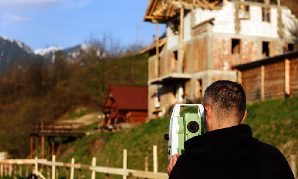
Building a home or commercial structure is a major investment—and precision is key to getting it right. One of the most overlooked, yet essential steps in any construction project is construction staking. Without it, builders risk costly errors, project delays, and even compliance issues. So, what exactly is construction staking, and why is it so […]
FEMA Elevation Certificate vs. Elevation Survey: Key Differences
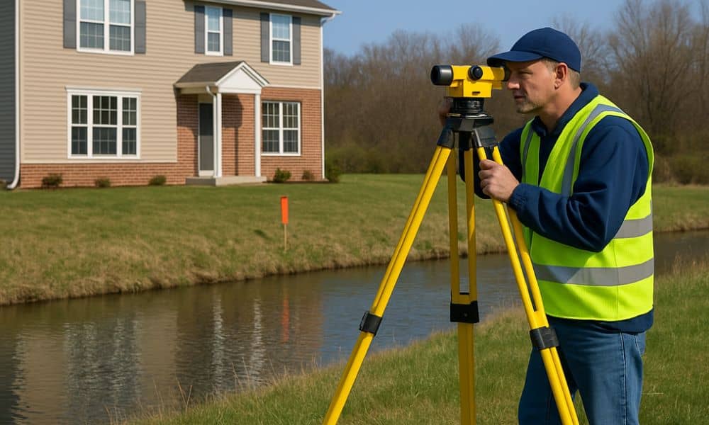
With monsoon storms, desert drainage systems, and unpredictable flash flooding, flood risk is a real concern in many parts of Arizona. Whether you’re buying a home, building a commercial property, or seeking flood insurance, understanding the land’s elevation is crucial. This is where tools like an elevation survey and the FEMA Elevation Certificate come into […]