FEMA Elevation Certificate vs. Elevation Survey: Key Differences
With monsoon storms, desert drainage systems, and unpredictable flash flooding, flood risk is a real concern in many parts of Arizona. Whether you’re buying a home, building a commercial property, or seeking flood insurance, understanding the land’s elevation is crucial. This is where tools like an elevation survey and the FEMA Elevation Certificate come into […]
A Short History on Land Surveying
Land surveying is one of the the oldest professions anywhere. When a parcel line separates two owners – land surveying is needed.
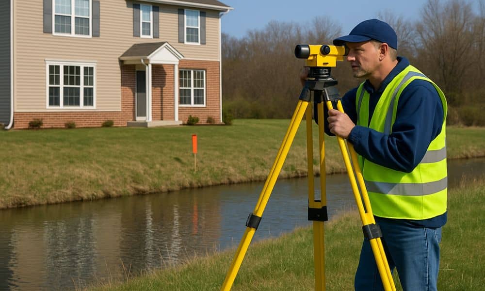
What You Need to Know About Land Surveying
What is Land Surveying? Land surveying is the art and science of accurately measuring parcels of land. Measurements such as dimensions, lengths, boundary lines, including structures within the area are all precisely determined through a land survey. These measurements are used to establish land alps, boundaries for ownership or for governmental purposes. It is a […]