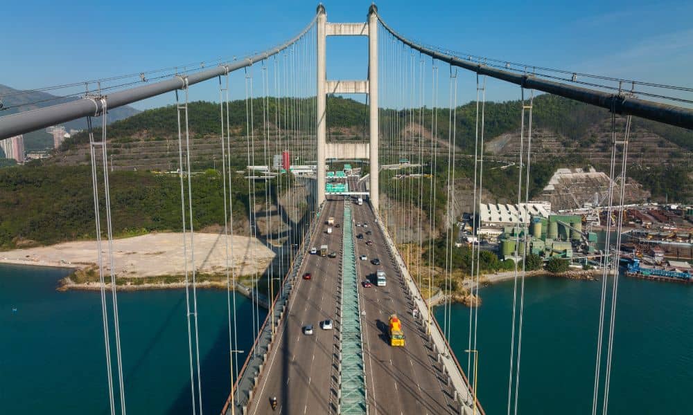
Phoenix keeps growing every year. New roads, bigger highways, and new bridges pop up all over the Valley. With so much construction, builders need ways to work faster and safer. That’s where UAV survey comes in. Using drones for surveying is changing how to handle big transportation projects. It saves time, lowers costs, and makes sure crews don’t miss important details.
What is a UAV Survey?
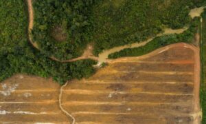
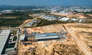
A UAV survey is simple to understand. A drone flies over a project site and takes hundreds of photos or videos. Then special software turns those images into detailed maps and 3D models. Instead of sending crews with measuring tools to walk the land, teams can see everything from above in just a few hours.
For a busy city like Phoenix, that’s a big deal. Roads and bridges here can’t stay closed for long. A UAV survey helps planners and contractors get the information they need quickly, without causing long delays for drivers.
UAV Survey in Road Projects
Phoenix roads are some of the busiest in the country. Expanding highways and fixing old streets is never easy, but a UAV survey makes the job smoother.
- Planning New Routes: Drones give a clear view of the land so engineers can pick the best alignment for new roads.
- Drainage and Slopes: With monsoon storms, poor drainage can turn roads into rivers. UAV surveys show where water will collect so crews can design better runoff systems.
- Checking Progress: Instead of waiting for reports, project managers can look at drone maps to see how much work is done each week.
Imagine a new road near the desert edge. A UAV survey can spot washes or uneven ground before crews bring in equipment. That prevents problems later and keeps projects moving.
UAV Survey in Bridge Projects
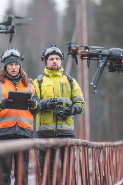
Building and inspecting bridges comes with risks. Phoenix has bridges over rivers, canals, and busy freeways. A UAV survey makes this work safer and faster.
- 3D Site Models: Drones create digital models of bridge areas, so engineers can design a structure that fits the land.
- Bridge Inspections: Inspectors don’t need to hang from ropes or close down traffic. UAV surveys collect close-up images of decks, piers, and supports.
- Erosion Checks: After heavy rain, UAV surveys show how water has affected soil near bridge foundations. That way, crews can fix small problems before they become big ones.
Instead of shutting down lanes for hours, drones can finish an inspection in one flight. Drivers keep moving, and workers stay safe.
Why UAV Surveys Are a Game Changer
The biggest reason teams love using a UAV survey is safety. Road and bridge sites can be dangerous. With heavy machines, fast-moving cars, and rough terrain, there’s always risk. Drones remove a lot of that risk by doing the hard work from the sky.
They also save time. Old survey methods could take weeks. A UAV survey often delivers results in a single day. That speed means fewer delays, which drivers can definitely appreciate.
And then there’s accuracy. UAV surveys pick up tiny details that people might miss. That reduces mistakes, cuts down on rework, and saves money.
Who Benefits from UAV Surveys?
The truth is, almost everyone involved in road and bridge projects gets value from a UAV survey:
- Engineers get the data they need to design stronger roads and bridges.
- Contractors use drone maps to stay on schedule.
- Agencies like ADOT get reliable records for permits and inspections.
- Drivers and Residents see safer, faster projects with fewer long detours.
When everyone works from the same set of clear, updated maps, projects move forward with less confusion.
Challenges of UAV Surveys
Of course, UAV surveys have a few hurdles. Phoenix sits near Sky Harbor International Airport, which means some flights need special approval. Weather can also be tricky. High winds and dust storms make it tough for drones to fly safely.
On top of that, UAV surveys require skilled operators. Flying a drone is easy. Collecting precise survey data takes training and the right equipment. Finally, road and bridge projects create massive amounts of data, and that information needs to be managed well to stay useful.
The Future of UAV Surveys
Looking ahead, UAV surveys will only grow more common. Soon, drones will use artificial intelligence to spot cracks, weak spots, or erosion without waiting for a human to check the footage. Agencies may schedule regular drone inspections for bridges and highways, reducing costs and boosting safety across the Valley.
As Phoenix keeps expanding, UAV surveys will likely become the standard way to plan, inspect, and maintain the city’s transportation system. The speed, accuracy, and safety they provide are too valuable to ignore.
Conclusion
Phoenix is moving forward fast, and its roads and bridges have to keep up. A UAV survey gives planners, engineers, and contractors the tools they need to build smarter and safer. From mapping new highways to inspecting bridges without shutting them down, drone surveying for roads and bridges is proving to be one of the most reliable solutions.
In the end, UAV surveys aren’t just a high-tech upgrade—they’re the future of transportation projects in Phoenix.
