How Floods Can Outdate Your Elevation Certificate
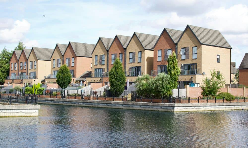
When the Colorado River swelled in mid-October, it wasn’t just another storm on the news. The remnants of Tropical Storm Priscilla brought record rainfall to parts of Colorado, and that surge moved through the river system all the way down to Bullhead City. Water levels rose, sediment shifted, and banks along Lake Mohave quietly changed […]
Survey Drones Face New FAA BVLOS Rule — Here’s What It Means
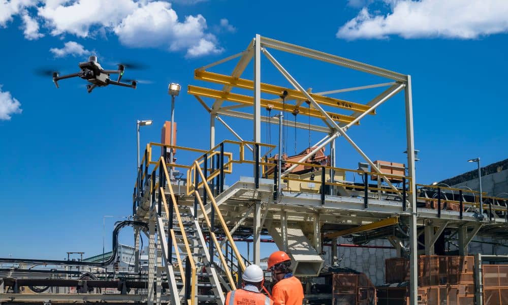
The way survey drones work in the United States could soon change. Earlier this month, the Federal Aviation Administration (FAA) finished collecting public comments on a new rule that may let drone pilots fly Beyond Visual Line of Sight (BVLOS). For surveyors, this could mean covering more ground in less time. The rule, called Part […]