Why Drone Land Surveying Is Replacing Traditional Surveys
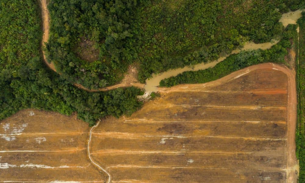
Drone land surveying is no longer a future idea—it is already changing how land gets measured in places like Bullhead City. Across desert cities, growth is moving faster than traditional surveying methods can handle. As a result, surveyors, developers, and property owners are turning to drones to keep projects moving. This shift is not about […]
Why a Topographic Survey Can Make or Break Your Rezoning
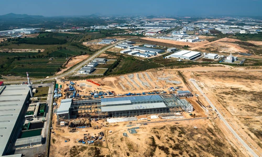
Developers feel a new kind of pressure right now, and it started with the city’s latest land-use hearings. In fact, many are ordering a topographic survey as one of their first steps. The city postponed a major hearing involving about 90 acres on the former Island Golf Course, and that delay set off a wave […]
Drone Land Surveying That Helps You Beat Market Uncertainty
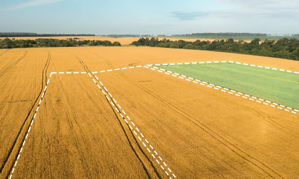
The real estate market feels unpredictable right now. Prices rise one week and drop the next. Some buyers rush to close, while others wait and hope for better deals. In moments like this, landowners need clear and updated information. That’s where drone land surveying becomes helpful. This modern tool gives landowners a better picture of […]