
Aerial Surveying for Canal Rehabilitation and Bank Mapping
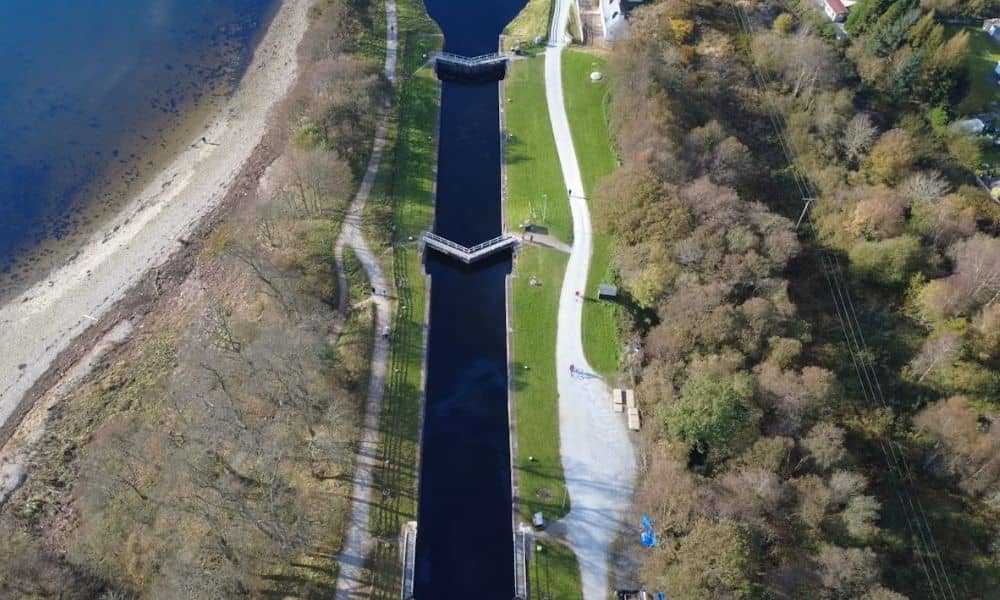
Planning to rehabilitate a canal? You need a clear picture of the corridor first. Canals often run for miles. Many parts are hard to reach on foot. That makes ground survey work slow and costly. Aerial surveying solves this problem. Drones with cameras or LiDAR sensors fly over the canal and capture what is there. […]
How Drone Surveying Maps Large Properties Faster
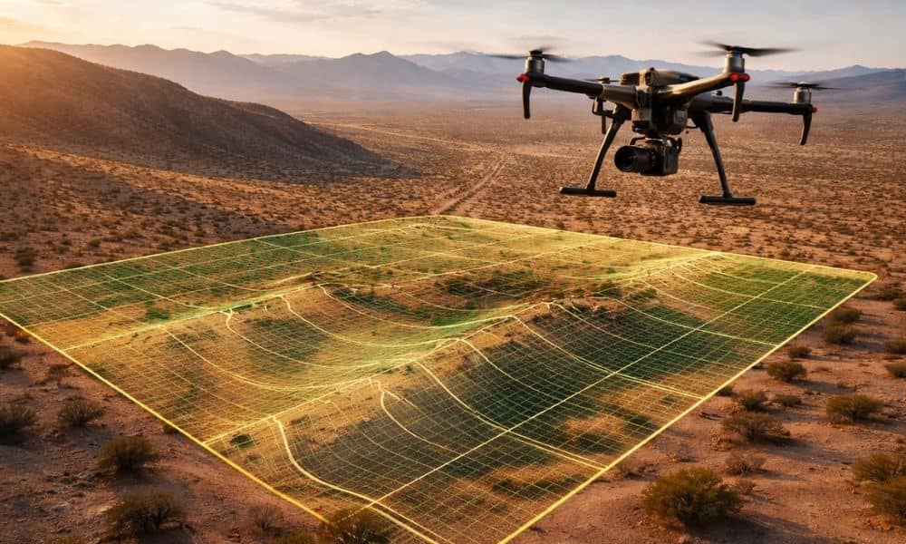
Mohave County has a lot of open land. In fact, many properties around Kingman, Golden Valley, and the surrounding desert cover dozens—or even hundreds—of acres. Because of that, understanding the full layout of a property can be difficult. Landowners often want to see what their land looks like before making big decisions. This is where […]