
Aerial Surveying for Canal Rehabilitation and Bank Mapping
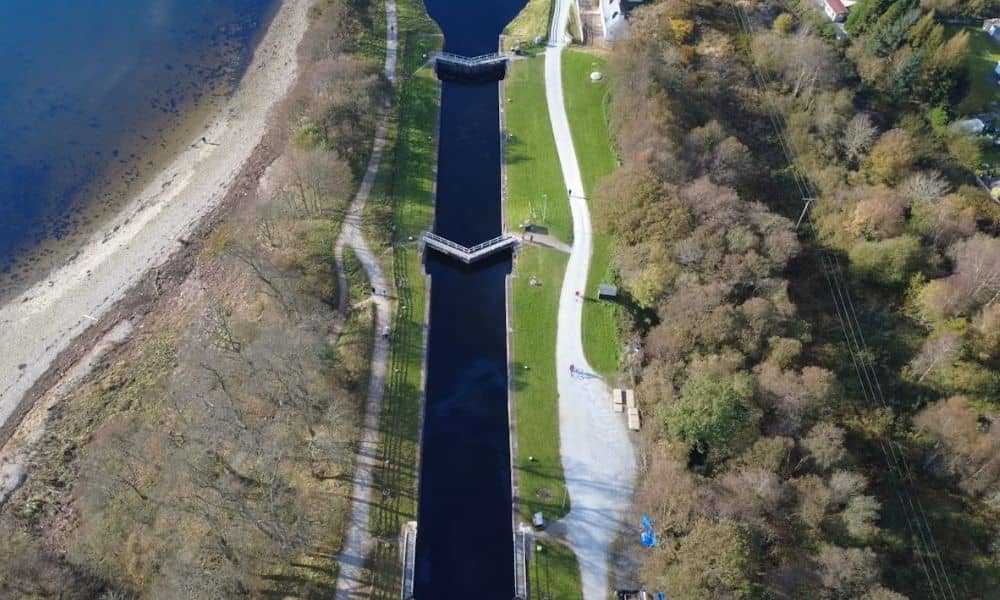
Planning to rehabilitate a canal? You need a clear picture of the corridor first. Canals often run for miles. Many parts are hard to reach on foot. That makes ground survey work slow and costly. Aerial surveying solves this problem. Drones with cameras or LiDAR sensors fly over the canal and capture what is there. […]
Why Drone LiDAR Mapping Is Gaining Ground on Job Sites

A grading foreman used to start his day the same way for twenty years. Walk the site. Eyeball the dirt. Wait for a survey crew to confirm what he already suspected. Now he pulls up a point cloud on a tablet before his coffee gets cold. That shift, quiet and unglamorous, is happening on job […]
LiDAR Mapping in Phoenix, AZ: What It Is and Why It Matters
Phoenix, Arizona, is one of the fastest-growing cities in the U.S. With new homes, roads, and developments shaping the Valley’s future, the need for smart, efficient planning has never been greater. That’s where LiDAR mapping comes in—a cutting-edge technology that’s helping city planners, engineers, and developers see the big picture with clarity and precision. What […]