Why a Boundary Line Survey Matters After Flooding
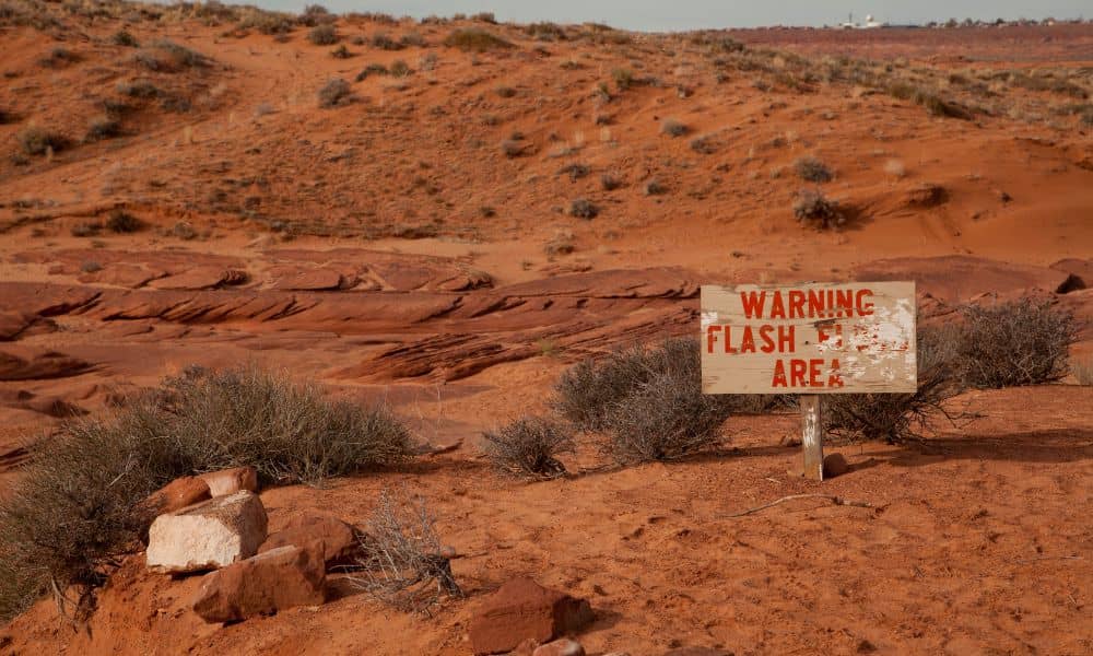
Every year, Lake Havasu braces for the desert’s wild summer storms. On September 5, the National Weather Service issued Flash Flood Warnings across Lake Havasu City, Parker Dam, and Topock. Videos of rushing water filled social feeds, and local outlets like KESQ and RiverScene Magazine shared dramatic footage of roadways under water. But while most […]
Steps to Get a Flood Elevation Certificate
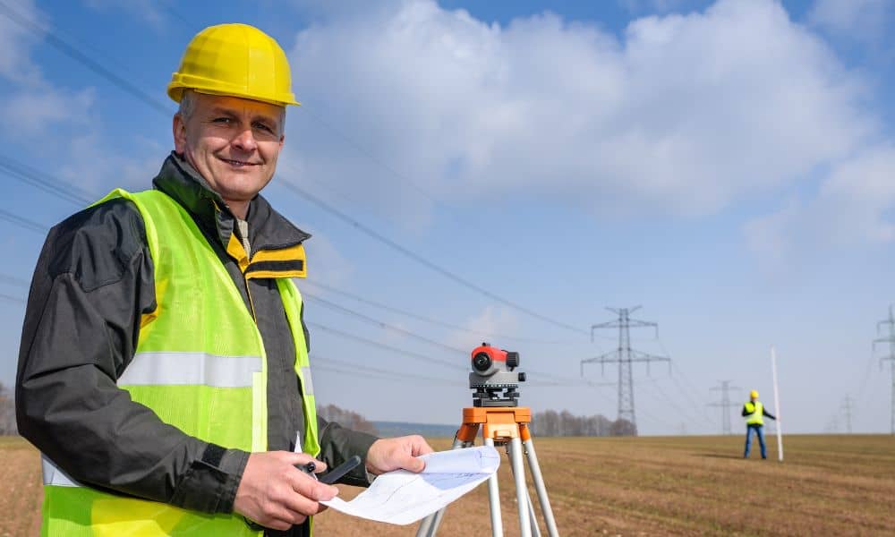
If you own property in Kingman, you know the desert landscape can surprise you. Most of the year it’s dry, but when heavy rain hits, water doesn’t soak in—it moves fast. Washes fill, drainage systems back up, and neighborhoods near low-lying areas see water rising quickly. That’s why FEMA, insurance companies, and the City of […]
UAV Survey Support for Road and Bridge Projects
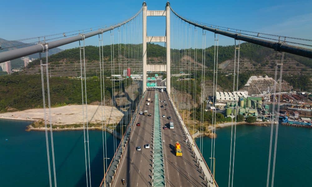
Phoenix keeps growing every year. New roads, bigger highways, and new bridges pop up all over the Valley. With so much construction, builders need ways to work faster and safer. That’s where UAV survey comes in. Using drones for surveying is changing how to handle big transportation projects. It saves time, lowers costs, and makes […]