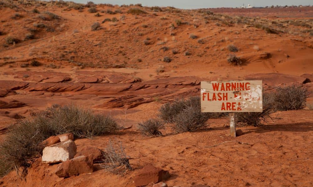
Every year, Lake Havasu braces for the desert’s wild summer storms. On September 5, the National Weather Service issued Flash Flood Warnings across Lake Havasu City, Parker Dam, and Topock. Videos of rushing water filled social feeds, and local outlets like KESQ and RiverScene Magazine shared dramatic footage of roadways under water. But while most people focused on the viral clips, homeowners faced another problem: hidden property damage. After heavy rains, a boundary line survey often becomes one of the most important steps in protecting your land.
When Floodwater Moves More Than Soil
Monsoon storms are powerful. In just a few hours, rushing water can carve channels through yards, pile up debris, and shift fences or block walls. In desert towns like Lake Havasu, stormwater follows natural washes, sometimes widening them and cutting into private property. Even if your home escaped flooding, the corners of your lot may have been disturbed.
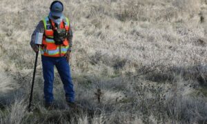
The small pins, caps, or concrete monuments at each corner are what surveyors call property corner markers, and they’re what legally define the edges of your lot. When a flood buries or moves those markers, it becomes hard to know where your true boundary lies. That’s why after heavy rains, neighbors can suddenly find themselves disagreeing over property lines, even when nothing looks different on the surface.
Why a Survey After Flooding Makes Sense
Calling a surveyor after a flood may not be the first thing on your list. However, it can prevent bigger problems down the road. Here’s why:
- Protect your legal boundaries: A survey confirms exactly where your property begins and ends, even if monuments were lost in the storm.
- Support insurance claims: If erosion or washouts damage structures near your property line, survey records back up your case.
- Avoid disputes later: After floods, many homeowners rebuild fences or walls. Without clear survey data, those repairs can land on the wrong side of the line.
Think of a boundary line survey as your safety net—it gives you proof before repairs, improvements, or new construction begin.
A Real Risk for Lake Havasu Properties
Unlike wetter states where property lines often stay visible, Arizona’s desert terrain creates unique challenges. Washes can shift overnight. Soil can pile against walls, pushing them out of alignment. Fences that looked sturdy one week may lean the next.
In Lake Havasu subdivisions, where homes are often built close together, even a small shift creates tension. One family’s wall becomes another’s driveway problem. When stormwater undercuts the ground near shared boundaries, questions about ownership rise fast. A fresh survey puts those questions to rest.
What Happens During a Post-Storm Boundary Line Survey
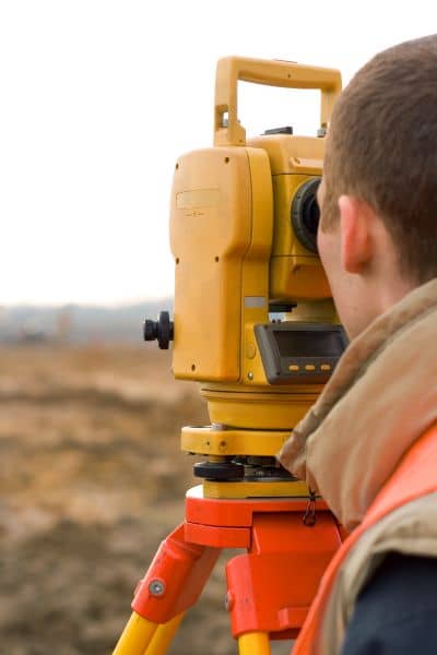
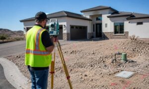
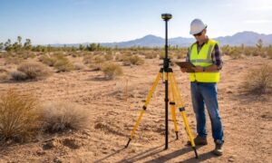
When you call a licensed surveyor, the process is straightforward but detailed. They start with historical records—plats, deeds, and maps filed. Then they measure your property using GPS equipment and total stations to locate existing markers. If a pin is missing or buried, the surveyor can re-establish it by referencing other known points.
The final product is a clear map of your lot, showing exactly where your corners and lines are today. Many surveyors also place new stakes or flags on site so you can see boundaries without digging. This physical marking is often what prevents neighbors from arguing about “where the line used to be.”
The Insurance and Permit Connection
Flooding doesn’t just bring water—it brings paperwork. If you file an insurance claim for storm damage, your adjuster may need evidence that a wall, fence, or structure was on your land before approving coverage. A survey provides that evidence.
Permits are another piece of the puzzle. In Lake Havasu City, grading and drainage plans must comply with stormwater management rules. If flooding reshaped your lot, your next permit application may need updated survey data. Having it ready avoids delays and costly redesigns.
Boundary Line vs. Other Surveys
After a monsoon, not every property needs the same type of survey. Here’s how they compare:
- Boundary line survey: Confirms property corners and limits. Best for homeowners dealing with lot lines, fences, or walls.
- As-built survey: Records current locations of structures and improvements. Helpful for insurance claims.
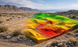
- Topographic survey: Maps elevations and drainage. Useful if floodwater changes how stormwater moves across your property.
Choosing the right survey depends on your situation, but in most post-flood cases, starting with a boundary line survey is the safest bet.
Staying Ahead of Future Disputes
Imagine a neighbor repairing their fence after a storm. Without a survey, they may unknowingly place it a foot over the line. Months later, you want to build a driveway or patio, only to find that the fence blocks your access. That small mistake can turn into a big expense.
By getting a boundary line survey right after the storm, you not only protect yourself today—you also prevent conflicts tomorrow. It’s easier, cheaper, and far less stressful to clarify boundaries early than to fight about them later.
Conclusion:
Lake Havasu’s beauty comes with desert extremes, and monsoon flooding is part of life here. While you can’t control the rain, you can control how prepared you are after it hits. A boundary line survey ensures your property lines remain clear, your insurance claims are supported, and your investments stay secure.
So next time storm videos fill your feed, remember: what’s happening under the surface could matter just as much as what’s happening on the streets. Taking the time to confirm your boundaries with trusted land survey experts is the simplest way to protect your home in a city shaped by water and weather.