How Drone Mapping Is Changing Desert Land Development
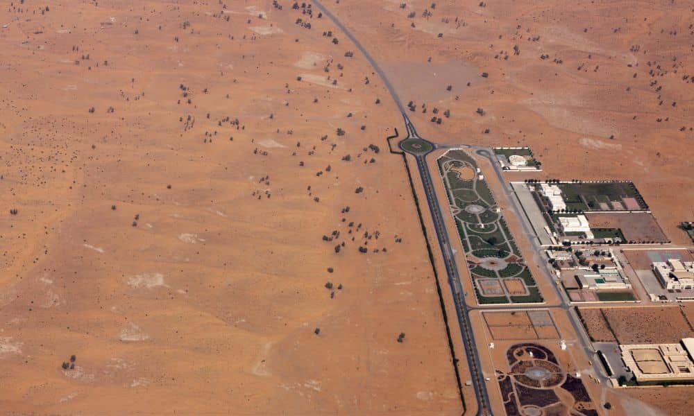
Phoenix keeps growing. New subdivisions, commercial centers, and infrastructure projects continue to spread across the desert. At the same time, land development here comes with challenges you don’t see in many other cities. Extreme heat, wide-open parcels, and subtle terrain changes can turn small planning mistakes into costly delays. Because of this, many developers, builders, […]