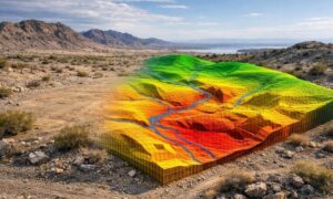
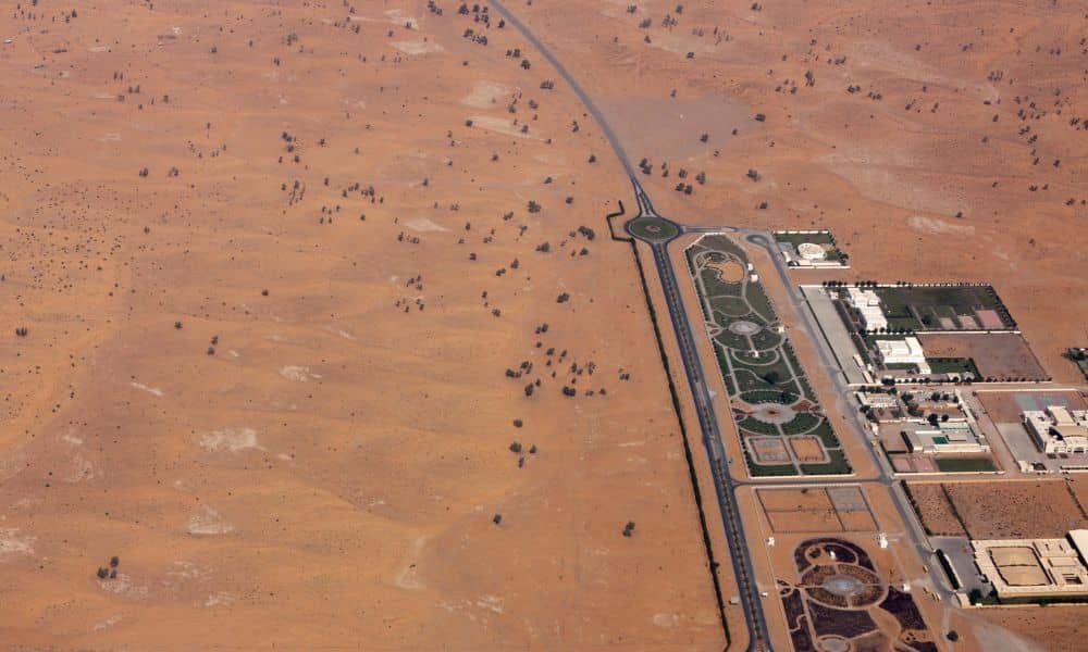
Phoenix keeps growing. New subdivisions, commercial centers, and infrastructure projects continue to spread across the desert. At the same time, land development here comes with challenges you don’t see in many other cities. Extreme heat, wide-open parcels, and subtle terrain changes can turn small planning mistakes into costly delays. Because of this, many developers, builders, and property owners are rethinking how they evaluate land before construction starts. One method gaining attention is drone mapping Phoenix AZ projects that focus on early visibility and smarter planning. Instead of guessing what a site looks like based on old data or limited ground checks, teams can see the full picture sooner.
Phoenix land looks simple—until you work on it
At first glance, desert land often looks flat and easy to build on. That’s one of the biggest traps in Phoenix development. What looks smooth from the road can hide shallow washes, uneven slopes, or drainage paths that only appear during heavy rain.
On large parcels, these details matter. A small elevation change can affect grading costs. A natural runoff path can change where roads or buildings should sit. When teams miss these details early, they often find out later—right when construction plans are already in motion.
That’s why early site visibility matters more in Phoenix than in many other regions.
Extreme heat changes how land data gets collected
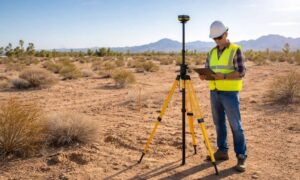
Phoenix summers don’t just feel hot. They change how work happens on-site. During peak heat, field crews can only work limited hours. Equipment heats up faster, and productivity slows down. Multiple site visits stretch timelines and budgets.
Because of this, developers often want fewer trips to the property during early planning. Aerial data collection helps support that goal. By capturing site conditions quickly, teams reduce the need for repeated walk-throughs while still gaining valuable insight into the land.
This approach doesn’t remove professional oversight. Instead, it helps teams gather better information earlier, when decisions still have flexibility.
Why early-stage mapping matters more than ever
In Phoenix, timing plays a big role in land development. Projects move fast, and delays can push work into the hottest months of the year. When planning starts late or with incomplete data, schedules tighten quickly.
Early drone-based mapping helps teams understand the full site before design begins. This matters during:
- Land acquisition decisions
- Feasibility reviews
- Early layout and grading concepts
- Coordination between owners, engineers, and builders
Seeing the entire parcel at once allows better conversations. Instead of reacting to surprises, teams plan around real conditions from day one.
Desert terrain hides more than it shows
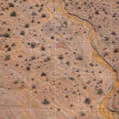
One of the biggest benefits of aerial mapping comes from understanding terrain. Desert land rarely has dramatic hills, but small changes still affect construction. Shallow slopes influence drainage. Low spots can collect water. Caliche layers can affect grading and compaction.
From the ground, these features don’t always stand out. From above, patterns become clear. Aerial surface models highlight changes that guide smarter site layout decisions.
This early clarity helps reduce redesigns. It also helps avoid cost increases tied to late-stage adjustments.
Managing large parcels in a sprawling city
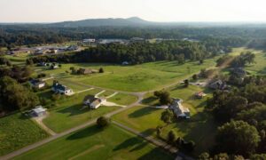
Phoenix continues to grow outward. Many projects involve large tracts of undeveloped land with limited historical data. Walking every acre takes time, especially when access roads don’t exist yet.
Aerial mapping provides scalable visibility. Instead of piecing together small sections, teams review the entire site as one connected area. This helps when planning utilities, access routes, and future phases.
For developers, this means fewer unknowns. For builders, it means fewer surprises once work begins.
How drone mapping fits into professional surveying
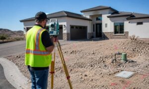
It’s important to be clear about one thing. Drone mapping does not replace professional land surveying. Licensed surveyors still verify accuracy, set control points, and ensure legal reliability.
What aerial mapping changes is how data gets collected and reviewed. By starting with a full-site view, surveyors and engineers gain better context before focusing on details. This improves planning quality without cutting corners.
When used correctly, drone mapping strengthens traditional workflows instead of competing with them.
When property owners benefit the most
Not every project needs aerial mapping. However, many Phoenix-area developments gain value from it, especially when:
- The parcel is large or irregular
- The land is undeveloped or difficult to access
- Early planning decisions carry high financial risk
- Schedules leave little room for redesign
In these cases, better early data often leads to smoother approvals and fewer changes during construction.
Better communication from the start
Another advantage of aerial mapping is communication. Visual data helps everyone involved understand the site. Owners, designers, and builders all work from the same reference instead of relying on assumptions or outdated drawings.
This shared understanding improves coordination. It also builds confidence during early decision-making, when clarity matters most.
Planning smarter in a desert city
Phoenix doesn’t forgive poor planning. Heat, scale, and terrain magnify small mistakes. That’s why early clarity plays such a big role in successful projects here.
Using drone mapping services as part of early land evaluation helps teams see real conditions sooner. It reduces guesswork, limits exposure to extreme heat, and supports smarter decisions before design and construction move forward.
In a city that keeps expanding, the ability to understand land quickly and clearly has become a practical advantage. For many projects, it’s no longer about working faster. It’s about working smarter from the very beginning.