When you buy or build, one of the most important steps before closing a deal is a due diligence survey. This survey helps you know exactly where your property starts and ends—and what problems might come up later. But now, with the Colorado River deal still unresolved, those shoreline boundaries are getting tricky.
The seven basin states recently missed a key deadline to agree on how to share the river’s shrinking water supply. For Lake Havasu, that means uncertain water levels and shifting shorelines. What sounds like a political story actually affects real property owners, builders, and lenders. Changing water levels can alter where your land stops, where you can build, and how much your property is worth.
The Water’s Edge Can Move Overnight
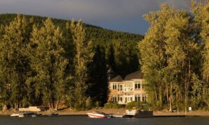
If you stand by the channel, it might look like the waterline is fixed. It isn’t. The ordinary high-water mark (OHWM)—which often defines the edge between private property and public water—can move when lake levels rise or fall. Droughts, storms, and new water rules can shift that mark, changing your property line without you realizing it.
A due diligence survey helps define that line using elevation data and water-level records. But when those records change every few months, surveyors must double-check where the real boundary sits. If the water level keeps moving, your land size and flood risk could change too.
Why Shoreline Slope Is a Big Deal
The slope of your shoreline—how steep or flat it is—affects how far water can reach when levels change. A steep slope keeps most of your land safe and dry. A gentle slope means the water can creep much farther inland.
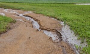
For surveyors, this slope determines if a property might flood or need special permits. For owners, it decides how much of your yard or dock you can actually use. If the slope changes due to erosion or drought, you could suddenly find part of your land under public water rules or floodplain restrictions.
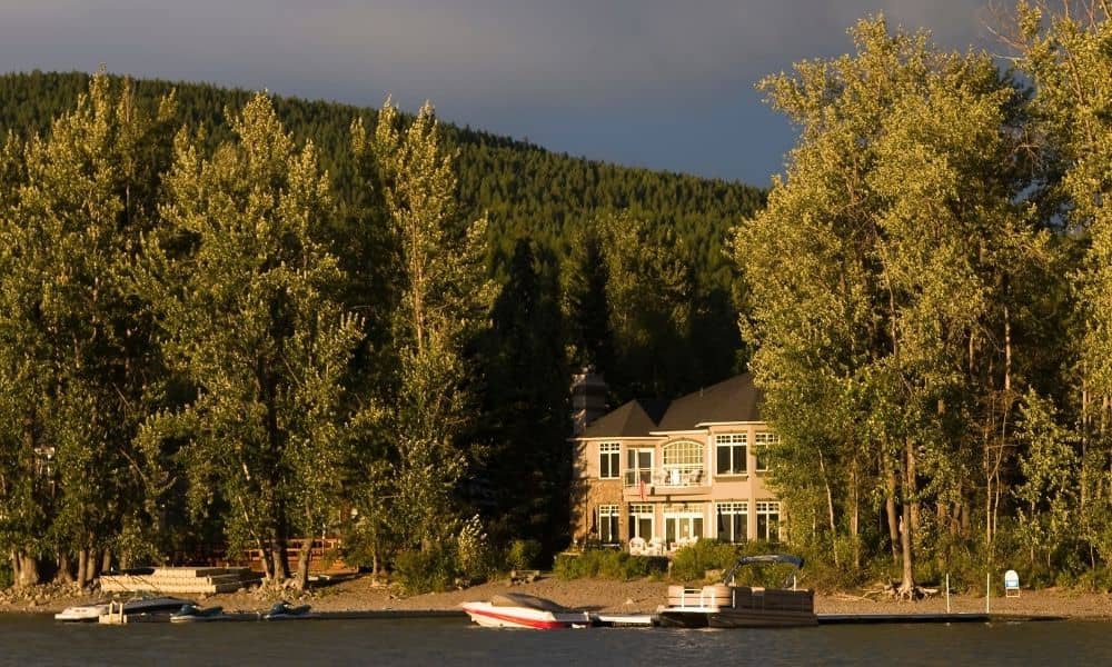
Imagine buying a lakefront home. Last year, your patio looked safe and dry. After this year’s policy delays and new rainfall, the waterline could move up several feet—right into your property. Suddenly, your paperwork and your survey no longer match reality.
How It Impacts a Due Diligence Survey
Surveyors performing due diligence surveys now have to deal with more unknowns. Lake Havasu’s water level depends on decisions made hundreds of miles upstream. If the Colorado River deal remains uncertain, lake levels could rise or fall quickly, forcing surveyors to update their data often.
These surveys now need more than just boundary points. They need slope mapping, floodplain checks, and updated Bureau of Reclamation water data. Builders must ensure their grading and staking follow the newest elevations. Buyers should verify flood risks before closing. And lenders often ask for fresh elevation certificates before approving loans.
When water policies are unclear, every new survey becomes a little more complex—and a lot more important.
When Plans Collide With Nature
Not long ago, a Lake Havasu builder shared a story that shows how fast things can change. They had city approval to extend a dock, but when water levels dropped, the newly exposed shoreline triggered new permitting rules. The builder had to redo part of the project—and pay for another review.
These stories are becoming common. Surveyors aren’t just measuring—they’re helping people make sense of a landscape that won’t sit still. Each project now starts with one question: What if the lake shifts again?
How Surveyors Are Adapting
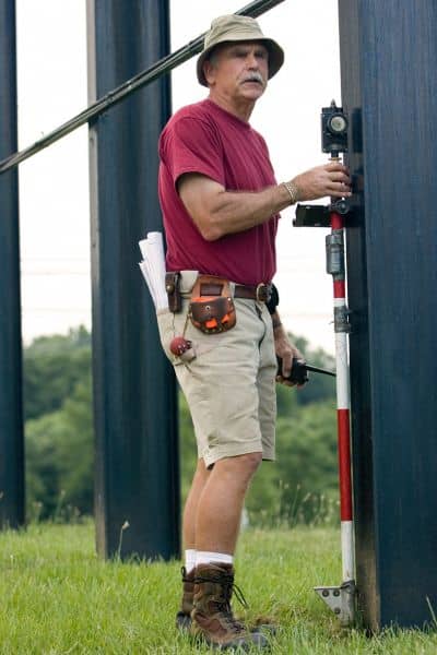
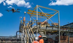
Today’s surveyors rely on more than tripods and stakes. They use drone mapping, GPS, and real-time elevation data to capture every detail of the shoreline. Drones help them scan slopes and waterlines fast, even when conditions change. Combined with flood maps and city records, this technology makes modern due diligence surveys much more reliable.
In Lake Havasu, many surveyors also use FEMA and Mohave County maps to predict how water levels might affect new builds. That forward thinking helps prevent costly mistakes later—especially for waterfront properties.
What Buyers and Builders Should Ask
If you’re buying or building, don’t treat your survey like paperwork—treat it like insurance. Ask your surveyor:
- Does this due diligence survey use the latest lake-level data?
- Did you include slope and flood risk in the report?
- Are the measurements tied to Bureau of Reclamation elevation points?
The answers matter. A good survey now can prevent rework, insurance issues, or title disputes later. And with water policies still uncertain, waiting could make things worse.
Why Now Is the Right Time
No one knows how the new Colorado River plan will shape water use. But you can protect yourself before those changes take effect. Getting a due diligence survey now gives you a snapshot of your property under current conditions. That record helps you prove boundaries, estimate flood risk, and plan for construction safely.
Acting early also gives you leverage. When policies shift, your survey serves as proof that you built or bought based on verified data. It’s a small step that can save you thousands later.
Final Thoughts
The missed Colorado River deadline isn’t just a headline—it’s a warning sign for property owners. Water levels may keep changing, and when they do, your land, permits, and flood risks change too.
A due diligence survey helps you see the full picture. It turns uncertainty into clarity, showing exactly how your shoreline slope, water level, and property line connect. In a time when the river’s future is unclear, a solid survey is your best defense against surprises.
