Kingman is changing fast. New construction projects are growing along the US-93 corridor, and the Mohave County 2025 General Plan is now in place. After the recent flood emergency that hit parts of the county, rules for building and permits have become tighter. In the middle of all this progress, drone surveying is turning into one of the most helpful tools for anyone who plans, builds, or buys land around Kingman.
The New Reality for Builders and Developers
The last few months have been full of changes. The floods in late September caused serious damage and led to a state emergency that included Mohave County. Soon after, county leaders approved a new General Plan that sets how land will be used in the coming years. Together, these updates are changing how every project begins.
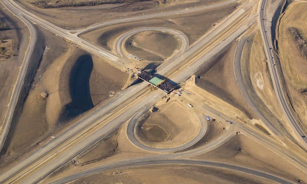
Developers working near the busy I-40 and US-93 interchange now need to prove that their sites are safe from flooding. They must also meet new drainage and grading rules. County engineers want more detailed topographic data before approving site plans. To meet these new expectations, surveyors have to work faster and deliver more accurate maps than ever.
Why Drone Surveying Fits the Moment
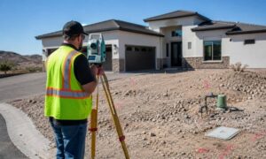
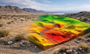
Traditional surveys depend on people using tripods and GPS tools on the ground. That method works but can take a long time, especially on rough terrain or after a flood. Drone surveying allows surveyors to capture the same data from the air. They use drones to take hundreds of photos that are stitched together into a 3D map of the land.
In places where floods damage roads or where desert terrain makes walking hard, drones can collect data in a few hours instead of days. They create high-quality maps and contour lines that engineers use to design drainage plans and grading layouts. By using drones, surveyors can give developers the information they need much faster, helping projects stay on schedule.
How Drone Surveying Works in the Field
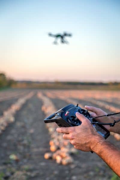
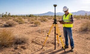
Professional survey drones aren’t toys. They are advanced tools equipped with cameras and GPS systems. Before the flight, a licensed land surveyor sets up control points on the ground. These points help align the aerial data with real-world coordinates.
Once the drone finishes flying, software combines the photos into one large, detailed image called an orthomosaic map. From there, the surveyor can make contour lines, calculate how much earth to cut or fill, and locate small features like drainage channels. This level of detail helps engineers design better flood control systems and helps property owners understand elevation risks before building.
Flood Recovery and the Need for Better Data
After the floods, officials added new rules for floodplain and drainage studies. Many developments now need elevation certificates or drainage easement checks before permits are approved. For homes or subdivisions near flood-prone areas like Golden Valley and north Kingman, drone data fills the gap between FEMA maps and what is really on the ground.
Each drone flight captures exact elevation data. Even small dips or low spots become visible in the 3D model. These details help identify whether a property sits above or below the base flood elevation. For homeowners, that means knowing what kind of flood insurance they’ll need. For developers, it helps avoid costly design changes later.
Faster Approvals and Fewer Delays
In Kingman’s growing corridor, time is money. Every week a project waits for permit approval can cost thousands. Drone surveying helps shorten those delays. The high-resolution images make it easier for county reviewers to confirm drainage, grading, and boundary details. That means fewer questions and quicker approvals.
Contractors also benefit during construction. They can compare drone maps with their site plans to check if grading and drainage match the approved design. If something looks off, they can fix it before it turns into a serious problem. This saves both time and money while keeping projects on track.
Licensed Oversight Still Matters
Even with advanced drone technology, human expertise is still vital. In Arizona, only a licensed land surveyor can sign off on survey results. That’s because accuracy and legal reliability depend on professional review. The surveyor checks every data point to make sure it meets industry standards and state rules.
Hiring a surveyor who uses drones gives clients the best of both worlds—speed and precision. The drone collects massive amounts of data, and the licensed expert ensures it’s correct. That combination is especially important for sites under new flood and drainage regulations.
The Human Side of New Technology
Drone surveying doesn’t replace people; it empowers them. Surveyors still visit sites to find property corners and verify details. What drones add is a complete view from above. For a large tract or a home on sloped land, this aerial view can catch problems early.
It also improves teamwork. Clients can see a 3D model of their property instead of trying to imagine it from paper drawings. County engineers can overlay the data on their own GIS maps, making reviews faster and clearer. Everyone involved—from surveyor to developer—works from the same accurate picture.
Looking Ahead: From Trend to Standard
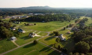
Kingman’s growth shows no signs of slowing down. With the US-93 corridor expanding toward Las Vegas and more housing planned near I-40, land development will keep getting busier. Mohave County’s General Plan focuses on smart growth and flood safety, which means drone surveying will soon be a regular part of every ALTA, boundary, or topographic survey in the area.
For property owners, that’s a win. Projects can begin sooner, and builders can make smarter choices with fewer surprises. In a county balancing rapid growth and flood concerns, UAVs give a clear advantage from above.
Final thought:
With the new county plan and stricter flood rules, survey accuracy and speed have become essential. Drone surveying bridges both. It helps Kingman grow responsibly—faster, safer, and smarter.