LiDAR Mapping & Real-Time Aerial Response Explained

Phoenix has always had to plan ahead. The city keeps growing, the land is tough, and the weather can change fast. Because of this, mistakes can be costly. What’s changing now is not just how Phoenix plans—but how quickly it needs answers when conditions shift. That need for speed explains why LiDAR Mapping is getting […]
Why Drone Land Surveying Is Replacing Traditional Surveys
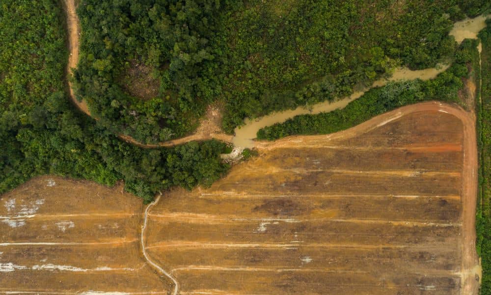
Drone land surveying is no longer a future idea—it is already changing how land gets measured in places like Bullhead City. Across desert cities, growth is moving faster than traditional surveying methods can handle. As a result, surveyors, developers, and property owners are turning to drones to keep projects moving. This shift is not about […]
Why a Topographic Survey Can Make or Break Your Rezoning
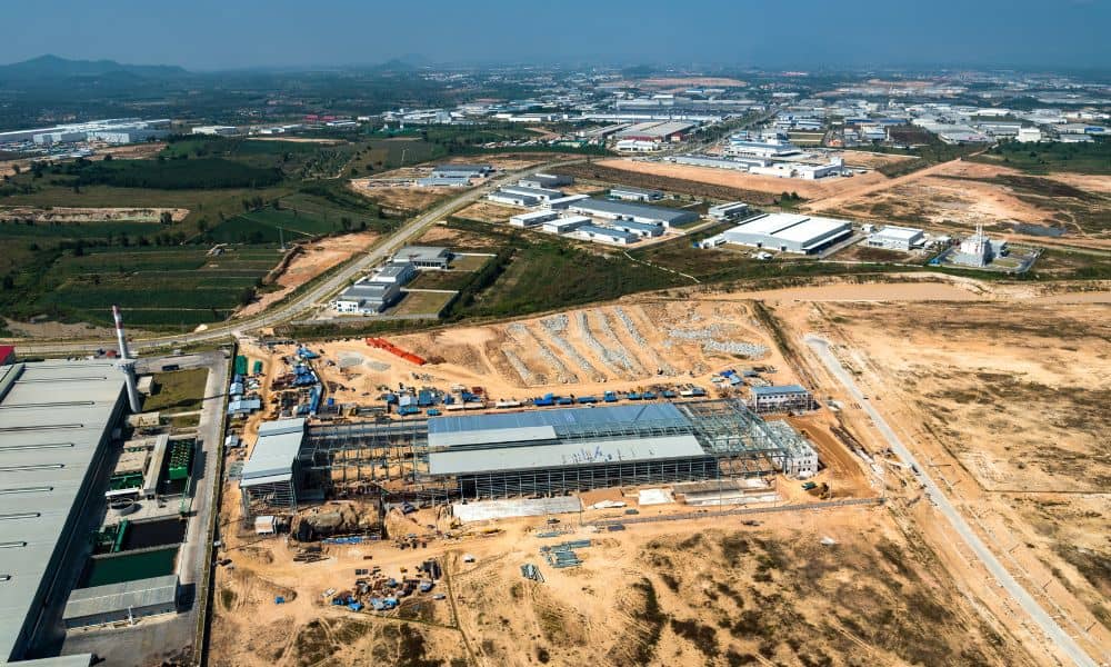
Developers feel a new kind of pressure right now, and it started with the city’s latest land-use hearings. In fact, many are ordering a topographic survey as one of their first steps. The city postponed a major hearing involving about 90 acres on the former Island Golf Course, and that delay set off a wave […]