2026 Alta Land Title Survey Changes Explained
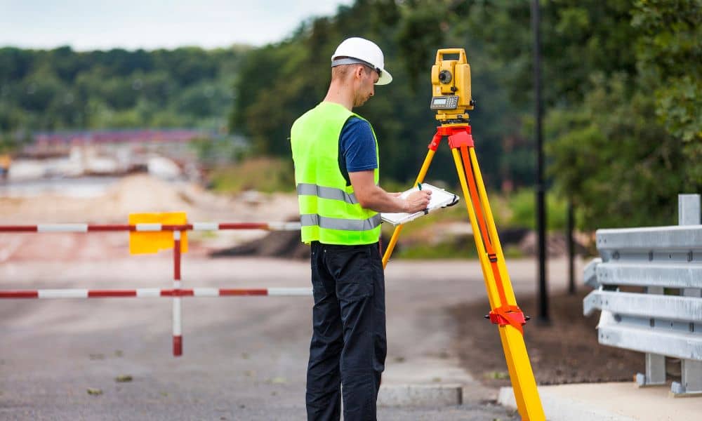
If you are buying commercial property in Arizona, you may have heard that 2026 brought important changes to the alta land title survey standards. At first, the update may sound technical. However, one part affects closings more than most people expect: how encroachments must be reported. Encroachments may seem small. A fence sits slightly over […]
Boundary Line Survey Proof vs Costly Assumptions
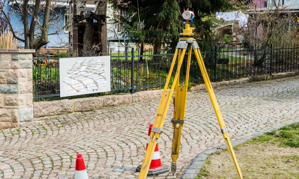
Most land disputes don’t start with bad neighbors. Instead, they start with bad assumptions. Today, people trust online maps, satellite images, and listing diagrams. They zoom in, draw a line, and feel confident. However, confidence is not proof. When a real conflict begins, only one thing settles the issue: a boundary line survey. Recently, several […]
How Drone Mapping Is Changing Desert Land Development
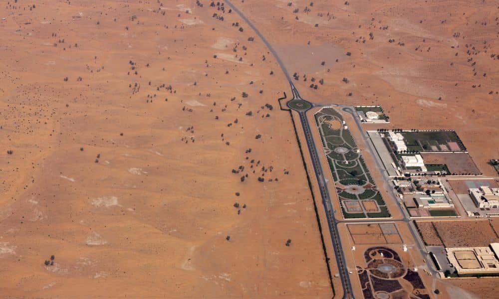
Phoenix keeps growing. New subdivisions, commercial centers, and infrastructure projects continue to spread across the desert. At the same time, land development here comes with challenges you don’t see in many other cities. Extreme heat, wide-open parcels, and subtle terrain changes can turn small planning mistakes into costly delays. Because of this, many developers, builders, […]