If you’re planning to build or replace a block wall, one thing can save you from stress, neighbor issues, and expensive mistakes: a construction staking survey. Most homeowners don’t realize how easy it is to place a wall even a few inches off the property line. Once that happens, the fix isn’t simple—you may need to tear the wall down, rebuild it, or deal with a long argument that makes everyone uncomfortable.
Why Block Walls in Bullhead City Aren’t “Simple Projects”
Bullhead City has a mix of older subdivisions, sloped yards, narrow side lots, and properties shaped around washes or drainage paths. On top of that, many older fences and walls don’t sit exactly on the property line. They lean, shift, or follow a path the original owner “thought” was correct.
Because of this, a block wall project can quickly go wrong if you rely on what you see instead of what your deed shows. Even worse, one wrong placement can turn a simple weekend build into a legal headache. That’s why construction staking matters so much here. It helps you build your new wall in the right location from the start.
Step 1: Start With Your Mohave County Parcel Map
Before you call a surveyor, you need to understand what you’re working with. Mohave County’s online map system makes this easy. You just type in your address or parcel number and pull up your lot.
While looking at the map, pay attention to anything that could affect where your wall goes. For example:
- Does your lot have an unusual curve at the back?
- Is there a drainage easement near the edge?
- Are the lot lines tight on the sides?
- Does your property share a wall with a neighbor?
You don’t need to decode the whole map. You just need to spot anything that looks different from what you see on the ground. Since many older fences don’t sit exactly on the property line, this early check gives you a clearer picture of your true boundaries.
Step 2: Walk the Side or Back Yard and Compare It to the Map
Next, print out your parcel map and take a walk along the area where you plan to build the wall. This simple step helps you catch things most people miss.
As you walk:
- Look for old fences that lean or don’t line up perfectly.
- Check for trees, shrubs, sheds, or small retaining walls near the boundary.
- Notice any area where the ground slopes or drops.
These signs show where staking may be tricky or where the old wall may have been built in the wrong place. You’re not surveying the property yourself; you’re just getting familiar with your space so you know what questions to ask later.
Step 3: When You Know It’s Time to Bring in a Surveyor
Most block wall mistakes happen because builders assume the old wall was correct. But in Bullhead City, that’s often not the case. Some walls were placed using rough guesses decades ago, and others have shifted after years of heat, wind, and ground movement.
You definitely need a surveyor if:
- You’re building right on the property line.
- Your neighbor seems unsure about where the line actually sits.
- Your lot has slopes or drainage channels.
- The old wall was cracked, leaning, or oddly placed.
- You live in a tight subdivision where only a few inches separate each home.
A construction staking survey tells your builder exactly where the new wall and footing should go so everything lines up with the true legal boundary. Because it removes so much uncertainty, many homeowners prefer to have a professional handle the staking rather than rely on visual guesses or old fences. It keeps the project clear, calm, and on track for everyone involved.
Step 4: What to Give Your Surveyor Before Staking Day
When you call the surveyor, they’ll need a few things from you so they can prepare. The more you provide early, the smoother the staking goes.
They’ll want:
- Your parcel number
- A copy of your deed
- Any old surveys you may have
- Photos of the wall area
- Your contractor’s wall layout or plan
- HOA rules (if your neighborhood has them)
- Notes about anything unusual, like drainage issues
This helps the surveyor calculate your true boundary line and figure out where the centerline of your new wall should be. It also prevents unnecessary delays or extra visits.
Step 5: What Actually Happens During a Construction Staking Survey
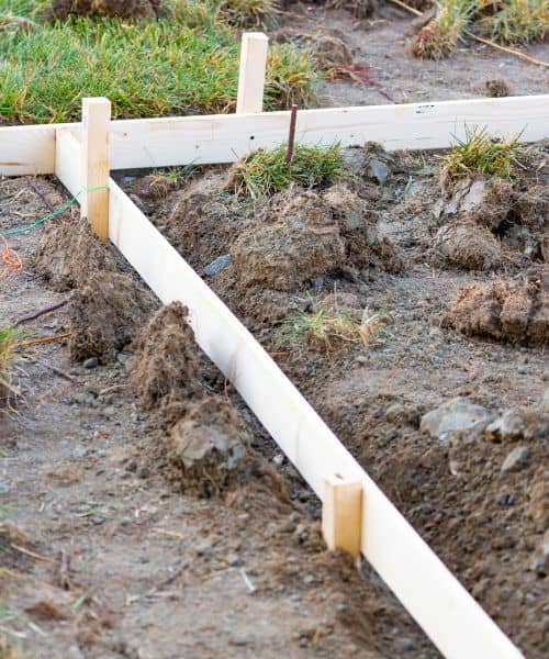
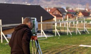
If you’ve never seen staking done before, it may look like the surveyor is just placing little wooden stakes in the dirt. But those stakes are more important than they seem. Each one marks a precise point based on your legal property line.
During the visit, the surveyor:
- Reviews your parcel map and deed
- Locates key boundary markers
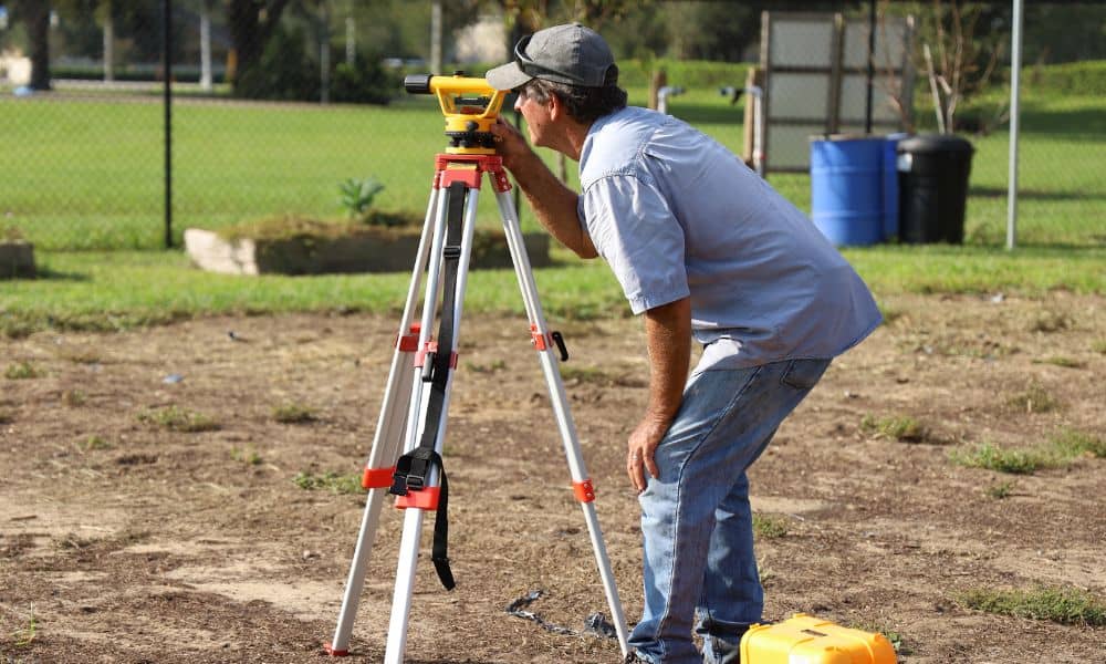
- Uses equipment to calculate exact points for the new wall
- Sets stakes where the wall, corners, and footing edges will go
These stakes tell your contractor exactly where to dig, pour, and build. Even a small shift during digging can throw off the entire line, so it’s important to protect the stakes once they’re in place.
Step 6: The Most Common Block Wall Mistakes—and How Staking Prevents Them
Almost every major wall problem traces back to the same few mistakes. The good news is that staking solves them all.
Some mistakes you want to avoid:
Relying on the old fence. Many fences were built without a survey. If your new wall follows that same line, you may end up building on your neighbor’s land.
Letting the contractor “eyeball it”. A straight wall doesn’t mean a correct wall. Even skilled masons can’t measure legal boundaries by sight.
Ignoring slope or drainage changes. Walls built near washes or uneven ground shift if the footings aren’t placed exactly right.
Not checking setbacks. If part of the wall sits too close to the property line, you may fail inspection or get a complaint.
A construction staking survey stops these problems before they start.
Step 7: Bullhead City Conditions That Make Staking Extra Important
Bullhead City has several unique features that make staking even more valuable than in many other Arizona cities.
For example:
- River-adjacent properties often have unusual rear lot lines.
- Lots near washes can shift with heavy water flow.
- Older subdivisions may have missing or buried survey markers.
- Narrow side yards leave no room for error.
- Soil movement after extreme heat can shift older structures.
Because of these conditions, staking gives you confidence that the wall you build will stay compliant, safe, and exactly where it should be.
Final Thoughts:
A block wall looks simple, but the planning behind it makes all the difference. When you use a construction staking survey, you avoid neighbor fights, extra costs, and risky guesswork. Most of all, you protect the investment you’re about to make.
If you’re planning a block wall, take a moment to review your parcel map and talk with a surveyor early. A quick look at the layout can help you avoid confusion later and make sure the wall ends up exactly where it should.

