The real estate market feels unpredictable right now. Prices rise one week and drop the next. Some buyers rush to close, while others wait and hope for better deals. In moments like this, landowners need clear and updated information. That’s where drone land surveying becomes helpful. This modern tool gives landowners a better picture of their property so they can make smart choices, even when the market gets shaky.
The idea may sound simple, but the impact is huge. When you understand what you own, what it’s worth, and what problems might exist, you hold the upper hand. Today’s market rewards people who move with confidence, not guesswork. A drone survey gives you that confidence in a fast and visual way.
Why Market Volatility Matters for landowners
When the real estate market swings up and down, decisions happen faster. Buyers search for safe deals. Sellers scramble to stand out. Investors jump at opportunities one day and pull back the next. Because the mood changes often, buyers want more proof before they commit. They want to know that the land they’re buying is worth the price and free of surprises.
Kingman’s land adds another layer. Many parcels sit far from the main roads, and some properties have old information that doesn’t match what’s on the ground today. In a calm market, people overlook these things. But in a shaky one, even small details matter. Buyers want clear visuals. Lenders ask more questions. Appraisers look for fresh data. Without updated information, you risk delays or lost deals.
Drone surveys tackle these issues directly. They give a clear, current view that buyers and lenders respect. Because you can see everything from above, you avoid misunderstandings before they disrupt a sale or a purchase.
How Drone Land Surveying Works—and Why It Helps
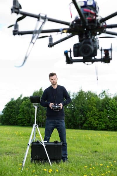
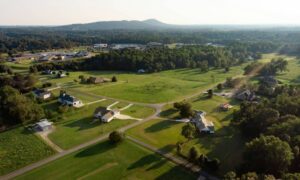
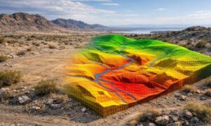
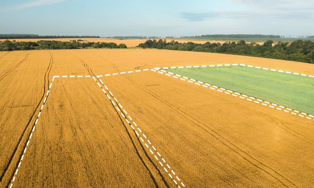
A drone survey is not just a quick flight over your land. It’s a detailed scan that shows the real layout of your property. The drone takes hundreds of high-resolution photos from different angles. Software then turns those photos into accurate maps and 3D models. These visuals show the size, shape, slope, and features of your land.
This matters because the details guide decisions. For example, you see where the best building area sits. You spot changes that satellite images miss. You confirm corners, edges, and access paths. You get an updated picture of the land you plan to buy or sell.
Even better, you get this information without long field work. In most cases, the drone covers the entire parcel in minutes. This speed gives Kingman landowners a real advantage in a fast market.
Drone Surveys Give Buyers and Sellers the Clear Data They Need
Better pricing decisions become easier when you have updated visuals. A volatile market makes pricing tricky. If you price too high, your land stays listed for months. If you price too low, you lose money. A drone survey helps you set a fair number by showing the true features of your land. Buyers feel more comfortable paying the asking price when they clearly see the conditions of the property.
Drone surveys also strengthen buyer confidence. Many buyers come from other states. They often want land for retirement, off-grid living, or investment. When a buyer looks at online listings, basic photos don’t answer their questions. Drone images fill that gap and give a full view of the land so buyers feel ready to make decisions without weeks of back-and-forth.
Strong visuals also help during negotiations. Information wins, especially when the market shifts often. If you have a drone survey, you show proof of what the land looks like today. You avoid arguments about access, terrain, or the size of usable space. The visuals support your position and shorten the negotiation time.
Finally, drone surveys prevent surprises at closing. A hidden wash, a steep slope, or a missing access route can delay or ruin a sale. A drone survey catches these issues early. When everyone sees the same details, the closing moves faster and smoother.
How Drone Surveys Help Buyers
If you’re planning to buy land, the market can feel even more stressful. Prices shift, and you want to avoid costly mistakes. Drone surveys remove a lot of that risk and give buyers more control.
With a drone survey, you see the land before driving out. You understand the layout, road conditions, and nearby features. This saves time and prevents wasted trips. You also catch problems you can’t see from the road. Some issues hide until you walk the property, but drones spot them in minutes. These include uneven terrain, erosion, or areas that may not support building.
Drone surveys also help buyers understand value. When the market swings, buyers need strong reasons to trust a price. Drone surveys reveal why a parcel costs what it does. You compare it to similar lots and feel more confident that you’re not overpaying.
Why This Matters Right Now
Kingman continues to grow, and demand for land stays steady. Investors watch the area closely because it sits between Phoenix, Las Vegas, and California. When the market shakes, more buyers look for rural land as a safer choice. This increased interest creates competition, and competition rewards the landowner who prepares early.
Drone surveys give local sellers an edge. They help out-of-state buyers trust your listing. They keep lenders and appraisers satisfied. They prevent small issues from turning into major setbacks. At the same time, they help buyers evaluate land quickly so they can act at the right moment.
In a stable market, drone surveys already help. In a volatile market like today, they become essential.
When You Should Consider Drone Land Surveying
You don’t need a drone survey for every situation, but many moments benefit from one. You should consider it before listing your land, before buying rural acreage, or before making an offer on a property. Drone surveys also help when you’re comparing several parcels or when your land has old or unclear information. They become especially helpful when out-of-state buyers show interest or when prices shift and you want stronger proof of value.
Each of these moments gets easier when you have fresh visuals and accurate mapping.
Final Thoughts:
The real estate market changes fast, and emotions rise with every shift. But clear information brings confidence. Drone land surveying gives landowners reliable data when they need it most. You see the current condition of your land. You understand the true value. You make decisions based on facts, not fear.
In a market full of questions, strong visuals bring strong answers. For anyone buying or selling land today, a drone survey is one of the smartest steps you can take.