Survey Drones Face New FAA BVLOS Rule — Here’s What It Means

The way survey drones work in the United States could soon change. Earlier this month, the Federal Aviation Administration (FAA) finished collecting public comments on a new rule that may let drone pilots fly Beyond Visual Line of Sight (BVLOS). For surveyors, this could mean covering more ground in less time. The rule, called Part […]
Why a Post-Storm Topographic Survey Is Critical
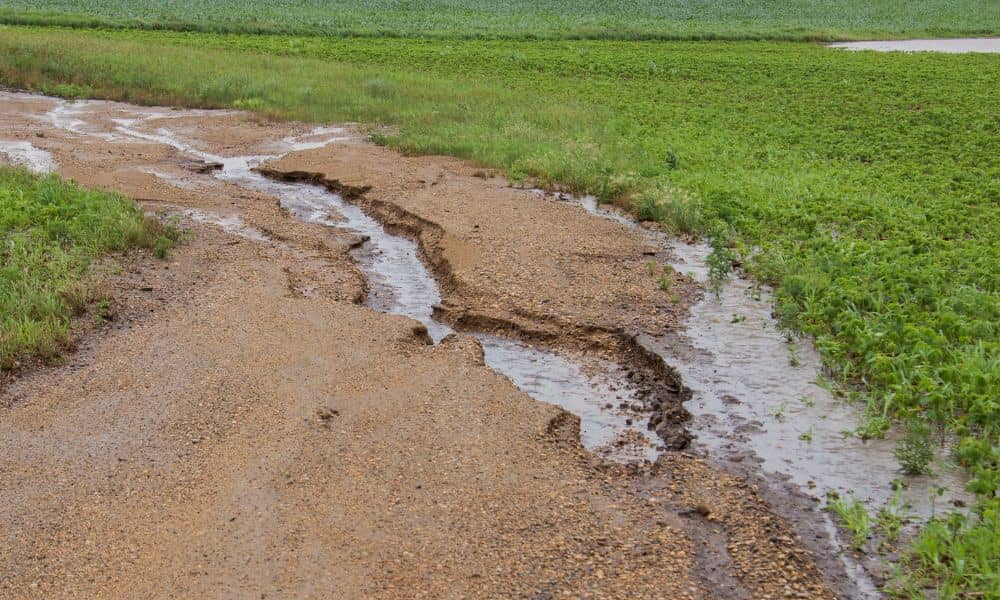
Arizona has seen heavy storms and flash floods in recent days, leaving behind damaged roads, overflowing washes, and heartbreaking losses. For many families and businesses, including Kingman, the land itself has changed in ways that aren’t always visible at first glance. That’s where a topographic survey becomes critical. After major floods, the ground doesn’t look […]
Flood Elevation Certificate: How It Lowers Insurance Costs

Flood insurance can feel like a financial burden, especially if you live in a high-risk area. Premiums often rise year after year, leaving homeowners with few options. One document, though, can make a real difference: the flood elevation certificate. Within the first hundred words, you now know the name of the tool that can change […]