Drone Surveying: The New Standard in Site Planning
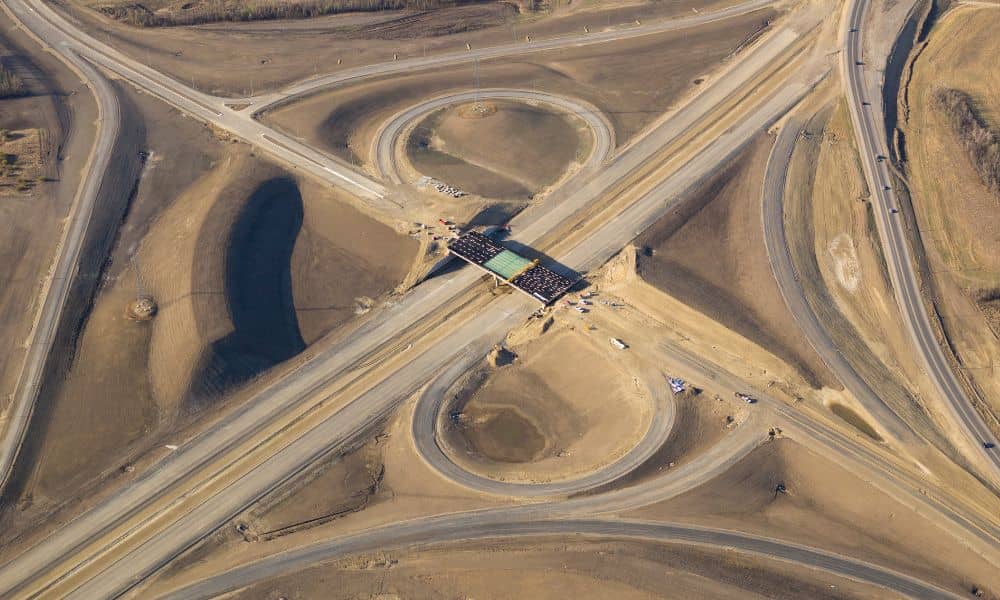
Kingman is changing fast. New construction projects are growing along the US-93 corridor, and the Mohave County 2025 General Plan is now in place. After the recent flood emergency that hit parts of the county, rules for building and permits have become tighter. In the middle of all this progress, drone surveying is turning into […]
ADAWS Approval Sparks Surge in ALTA Title Survey Orders

Big news just hit the Phoenix building scene: EPCOR has received approval for an Alternative Designation of Assured Water Supply (ADAWS). This means builders in cities like Buckeye and Surprise finally have the green light to restart projects that were stopped because of water restrictions. For anyone working in real estate or development, this change […]
How Floods Can Outdate Your Elevation Certificate

When the Colorado River swelled in mid-October, it wasn’t just another storm on the news. The remnants of Tropical Storm Priscilla brought record rainfall to parts of Colorado, and that surge moved through the river system all the way down to Bullhead City. Water levels rose, sediment shifted, and banks along Lake Mohave quietly changed […]