Exact Survey Data for FEMA Elevation Certificate Approval
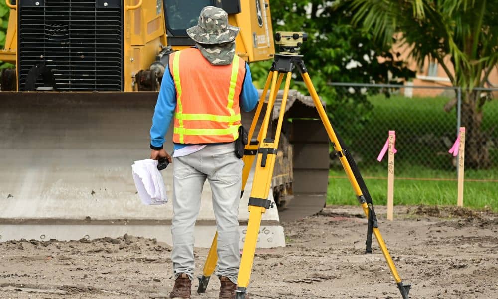
When homeowners hear the term fema elevation certificate, they often think it is just a form. However, that form depends on careful survey work. Without accurate measurements, FEMA may delay or deny approval. Many property owners only learn this after they face insurance problems, loan delays, or permit issues. In Bullhead City, where desert land […]
Why Boundary Surveys Matter When Land Use Rules Change
Cities change over time. Roads grow wider. Zoning rules shift. Long-term plans are updated as communities grow. When this happens, many property owners think nothing will affect them unless construction starts nearby. That is not true. The first changes almost always happen on paper. This is why boundary surveys become so important during land use […]
Property Line Survey Before Fences or Driveways
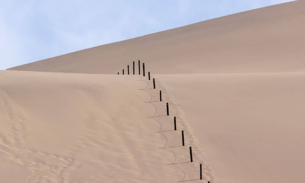
Open desert land can feel simple. The space looks wide. The edges look straight. Because of that, many property owners feel confident placing a fence or cutting in a driveway without much concern. However, desert lots hide more boundary problems than most people expect. That’s where a property line survey makes a real difference. If […]