Boundary Line Survey Proof vs Costly Assumptions
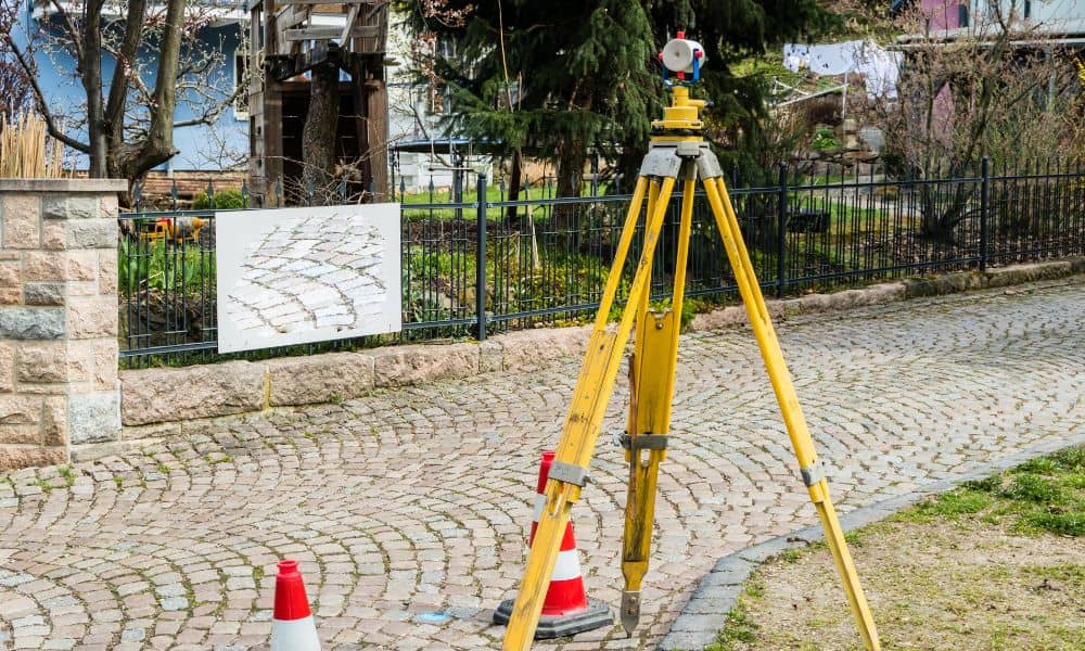
Most land disputes don’t start with bad neighbors. Instead, they start with bad assumptions. Today, people trust online maps, satellite images, and listing diagrams. They zoom in, draw a line, and feel confident. However, confidence is not proof. When a real conflict begins, only one thing settles the issue: a boundary line survey. Recently, several […]
How Drone Mapping Is Changing Desert Land Development
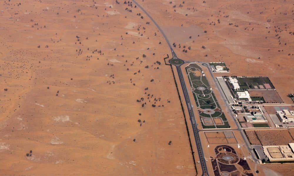
Phoenix keeps growing. New subdivisions, commercial centers, and infrastructure projects continue to spread across the desert. At the same time, land development here comes with challenges you don’t see in many other cities. Extreme heat, wide-open parcels, and subtle terrain changes can turn small planning mistakes into costly delays. Because of this, many developers, builders, […]
Exact Survey Data for FEMA Elevation Certificate Approval
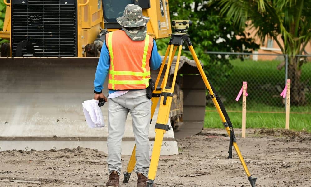
When homeowners hear the term fema elevation certificate, they often think it is just a form. However, that form depends on careful survey work. Without accurate measurements, FEMA may delay or deny approval. Many property owners only learn this after they face insurance problems, loan delays, or permit issues. In Bullhead City, where desert land […]