In Bullhead City, Arizona, land is often used for both commercial and residential development. Before buying or building on a property, it’s important to understand what parts of the land you actually have full rights to use. That’s where an ALTA survey for easements comes in.
An ALTA/NSPS Land Title Survey helps reveal things like utility easements, shared driveways, and access roads. These details can make a big difference in what you’re allowed to build or how you can use your property.
Why Easements Matter in Bullhead City
Utility Easements
Bullhead City has a lot of underground and above-ground utilities—like electric lines, water pipes, and sewer lines. These utility companies often have easements that let them access your land for repairs or upgrades. An ALTA survey will clearly mark where these easements are so you don’t build over them by mistake.
Public Right-of-Way and Access Roads
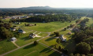
Some properties—especially in outer areas of Bullhead City—may not have obvious road access. If the land is landlocked, you need to confirm there’s a recorded right-of-way. A land survey for legal access in Bullhead City helps verify whether you can legally enter and exit the property, which is critical before purchasing or developing the land.
Drainage Easements and Flood Zones
Bullhead City is close to the Colorado River, so many properties lie in flood-prone areas. Some land has drainage easements, meaning you can’t block certain parts of the land with buildings or fences. An ALTA survey checks for these restrictions, helping you plan your layout better.
Shared Driveways and Private Roads
In some neighborhoods or desert communities, driveways and roads are shared between multiple owners. An ALTA survey shows if there’s a legal agreement for shared use and if it’s recorded properly. This prevents future arguments about who can use the road or who’s responsible for repairs.
How ALTA Surveys Identify Easements and Access
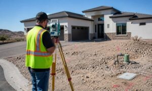
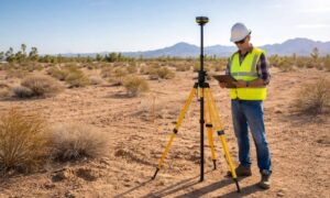
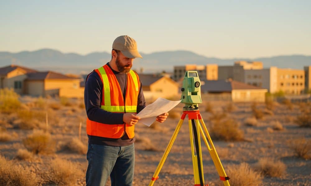
An ALTA surveyor reviews both physical land features and legal documents. They work with title companies to get recorded deeds, easements, and access agreements. Then, they map everything clearly on a survey drawing.
These surveys show:
- Boundaries and corners
- All known easements
- Roads and right-of-way access
- Buildings and fences
- Encroachments from nearby properties
The result is a complete picture of the property that helps avoid surprises.
Example Situations
Imagine buying a commercial lot near Highway 95. After getting an ALTA survey, you find out there’s a water main easement running through where you wanted to build. That changes your building plans—but it saves you from breaking the law or having to move the building later.
Or, suppose you’re buying a desert parcel outside city limits. The survey shows no legal road access. You now know you need to get an easement from a neighbor before moving forward
When Should You Request an ALTA Survey?
In Bullhead City, you should consider an ALTA survey if:
- You’re buying or refinancing commercial property
- You’re developing land with unclear ownership history
- You need title insurance for the deal
- The property borders shared roads, ditches, or utilities
Final Thoughts
Understanding easements and access rights is a key part of buying or developing land. A professional ALTA survey for easements can uncover details that are easy to miss—like utility rights, drainage paths, or missing road access. By identifying these issues early, you can plan better and avoid legal or construction problems later.