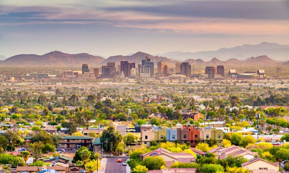
Phoenix, Arizona, is one of the fastest-growing cities in the U.S. With new homes, roads, and developments shaping the Valley’s future, the need for smart, efficient planning has never been greater. That’s where LiDAR mapping comes in—a cutting-edge technology that’s helping city planners, engineers, and developers see the big picture with clarity and precision.
What is LiDAR Mapping?
LiDAR stands for Light Detection and Ranging. It works by sending out laser beams from a device—usually mounted on a drone, airplane, or car—and measuring how long it takes for those beams to bounce back. The data creates detailed 3D maps of the ground and everything on it.
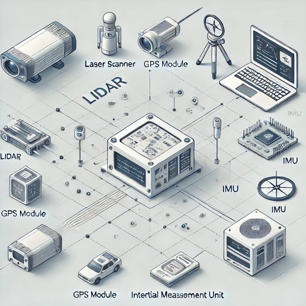
Key Components of a LiDAR System
- Laser Scanner: Sends out rapid pulses of light
- GPS: Pinpoints the scanner’s location
- IMU (Inertial Measurement Unit): Tracks the scanner’s movement and tilt
- Computer System: Gathers and processes the data into useful maps
LiDAR vs Traditional Surveying
Traditional surveying requires people to measure land by hand, which takes time and often misses small details. LiDAR, on the other hand, can scan entire neighborhoods in hours and pick up information that’s nearly impossible to gather manually—like the exact shape of terrain or the height of every tree.
Why LiDAR Mapping is Important for Phoenix
• Managing Urban Expansion
Phoenix is expanding quickly, especially in the suburbs and desert edges. LiDAR helps city planners and developers understand exactly what the land looks like before breaking ground. This reduces the risk of costly mistakes or delays.
• Navigating the Desert Landscape
The Sonoran Desert isn’t flat and simple—it’s full of arroyos, rock formations, and sensitive plant life. LiDAR helps planners avoid disturbing natural features, preserving the beauty and balance of the environment.
• Planning for Extreme Weather
Monsoon season can bring sudden flash floods. LiDAR helps identify low-lying areas where water might collect, so engineers can build proper drainage systems. This helps prevent property damage and keeps people safe.
Real-World Uses of LiDAR in Phoenix
Roadway and Transportation Planning
Whether it’s adding new bus routes or expanding highways, LiDAR helps transportation teams map roads and intersections accurately. It also supports the design of better traffic systems and bike lanes.
• Utility and Infrastructure Mapping
Knowing where water pipes, electric lines, and sewer systems are located is critical. LiDAR helps detect existing infrastructure so new projects don’t cause accidental damage.
• Environmental Monitoring and Land Use
As the city grows, so does the need to track open land and green spaces. LiDAR makes it easy to monitor changes in the environment, whether it’s erosion, vegetation growth, or land use changes.
• Construction and Development Projects
Before a single brick is laid, LiDAR scans help developers create site plans that match the real landscape. This speeds up permitting and ensures buildings fit the land properly.
Who Uses LiDAR Mapping in Phoenix?
• Government and Public Works
City planners and public works departments use LiDAR to manage road repairs, plan stormwater systems, and analyze traffic patterns.
• Engineers and Urban Planners
Civil engineers rely on LiDAR for everything from slope analysis to bridge inspections. Urban planners use it to design neighborhoods, parks, and transit systems.
• Developers and Environmental Consultants
Real estate developers, architects, and environmental consultants often partner with LiDAR mapping service companies in Phoenix to support permit applications, zoning reviews, and site assessments. These services provide a reliable foundation for informed decision-making..
Advantages of LiDAR Mapping
1. Fast and Accurate
LiDAR scans large areas in very little time and provides centimeter-level accuracy—ideal for detailed planning and fast-paced projects.
2. Cost-Effective in the Long Run
Though the technology may seem expensive at first, it saves money by preventing errors, reducing manual labor, and speeding up project timelines.
3. Supports Smart Growth
With the data it provides, LiDAR helps cities like Phoenix grow in a thoughtful, informed way. It encourages sustainable building and long-term planning.
The Future of LiDAR Mapping in Phoenix
As Phoenix moves toward becoming a smart city, LiDAR will play a growing role in real-time data collection, infrastructure monitoring, and automated systems. New tech will integrate LiDAR with artificial intelligence (AI) and the Internet of Things (IoT), opening doors to even more efficient planning.
LiDAR will not only help build the Phoenix of tomorrow—it will help protect its history, culture, and desert environment along the way.
FAQs
1. What does LiDAR stand for?
LiDAR stands for Light Detection and Ranging, a technology used to measure distances and create 3D maps.
2. How is LiDAR mapping used in Phoenix?
It’s used for city planning, road design, utility mapping, flood prevention, and environmental monitoring.
3. Is LiDAR accurate?
Yes, LiDAR systems provide very high accuracy—often within 2 to 5 centimeters.
4. Who benefits from LiDAR in Phoenix?
Engineers, developers, public agencies, and even everyday residents benefit from better infrastructure and safer planning.
5. How does LiDAR help during floods?
It maps terrain elevations to find flood-prone areas, helping design better drainage systems and emergency plans.
6. Is LiDAR mapping expensive?
It can be an investment up front, but the time and money saved over a project’s lifespan often outweigh the cost.
