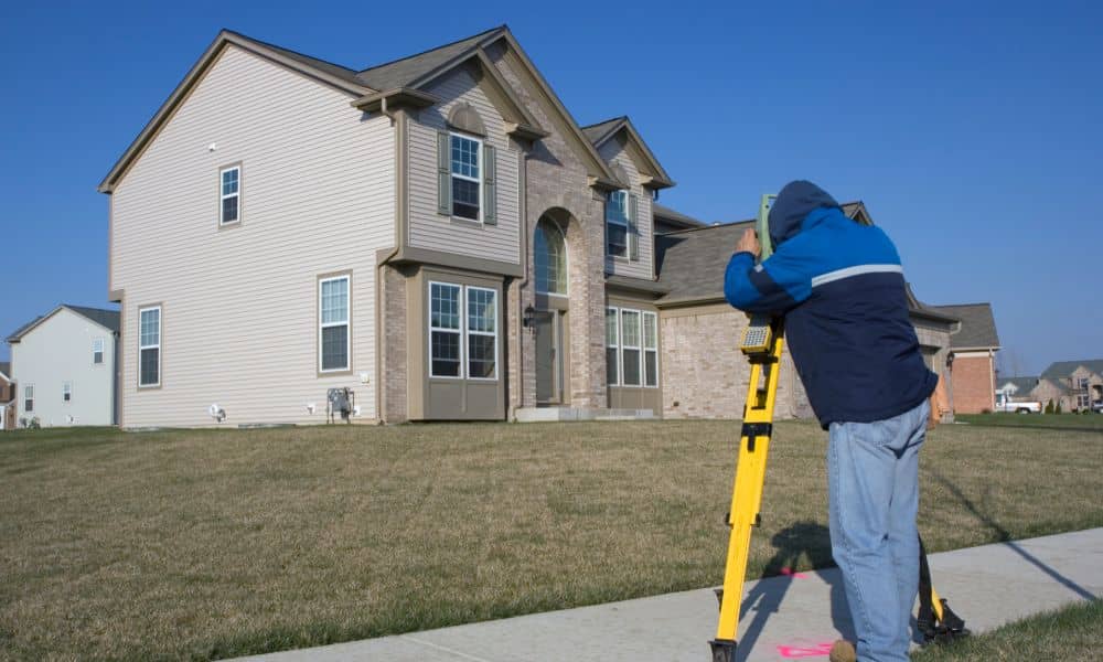
Before signing any dotted line on a real estate deal, there’s one crucial step many overlook: the boundary survey. Whether you’re purchasing residential land or a commercial lot, knowing exactly where your property lines fall is not just helpful—it’s essential.
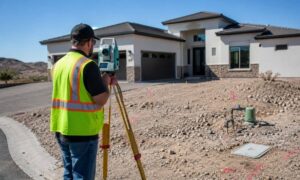
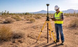
A boundary survey is a specialized process conducted by a licensed land surveyor to establish the true property lines of a parcel of land. It uses historical records, on-site measurements, and mapping technology to precisely define boundaries. For buyers in Arizona, where zoning, easements, and desert terrain play unique roles, this survey becomes even more vital.
Reason #1: Avoid Property Line Disputes
Imagine investing in a beautiful lot only to find out your neighbor’s fence is three feet into your future backyard. Or worse, that the shed you planned to build crosses onto their land. Boundary disputes are not only frustrating but can lead to costly legal battles.
A boundary survey clearly defines your legal limits, helping to prevent neighbor conflicts. In densely packed suburban areas or rural plots with no visible demarcations, this clarity is invaluable.
Reason #2: Ensure Legal Ownership of the Entire Property
It’s surprisingly common for buyers to assume they’re getting more land than they actually are. This often stems from reliance on outdated or vague property descriptions.
A professional boundary survey helps verify that the land listed in the deed is what’s actually on the ground. If there are discrepancies, they can be addressed before closing—saving you from future headaches or potential lawsuits.
Reason #3: Clarify Easements and Rights of Way
Do utilities have the right to dig up part of your yard? Can a neighbor legally cross a path through your lot?
A boundary survey identifies all existing easements and rights of way—legal access that others may have over your land. This includes utility lines, sidewalks, driveways, and more. Knowing where these are located ensures you’re not caught off-guard after moving in.
Reason #4: Comply with Local Zoning and Building Codes
Zoning laws in cities like Phoenix, Scottsdale, and Mesa are strict. You can’t just build anywhere you want on your land. A boundary survey helps identify setbacks, height restrictions, and buildable areas—vital for construction or home improvement projects.
Without this knowledge, you might unintentionally violate building codes, leading to fines, demolition orders, or halted construction.
Reason #5: Prevent Future Legal Issues
Boundary uncertainty can lead to legal problems that aren’t immediately obvious. Property lines are often a key factor in:
- Adverse possession claims
- Title insurance disputes
- Land use or zoning violations
With a boundary survey in hand, you have official documentation proving where your land starts and ends, significantly lowering your legal risk.
Reason #6: Support for Property Improvements or Construction
Planning to install a fence, patio, or new home addition? A boundary survey provides precise data needed by architects, builders, and contractors.
Without a survey, even a minor project could inadvertently encroach on neighboring land, triggering lawsuits or demolition requirements. Think of the survey as your blueprint for responsible development.
Reason #7: Provide Peace of Mind Before Investment
Buying property is one of the largest financial decisions you’ll ever make. A boundary survey gives you confidence that you’re investing in exactly what you think you are—no more, no less.
For both residential and commercial buyers, this assurance adds a layer of security and trust during a sometimes chaotic process.
When Should You Order a Boundary Survey?
The ideal time to order a boundary survey is before closing on the property—typically during the due diligence period. This allows enough time to resolve issues, renegotiate if necessary, or back out of the deal.
In most cases, the buyer pays for the survey, though this can be negotiated with the seller.
Cost of a Boundary Survey in Arizona
In Arizona, a typical boundary survey ranges between $400 to $1,200, depending on factors like:
- Property size and location
- Terrain complexity
- Availability of previous records
- Urgency of service
Urban areas may cost more due to denser development and legal complexity.
Licensed vs. Unlicensed Surveyors: Why It Matters
Hiring a licensed land surveyor in Arizona is non-negotiable. They meet state regulatory requirements and carry the liability for their work. An unlicensed surveyor may offer a cheaper price but puts your legal standing at serious risk.
Look for professionals certified by the Arizona State Board of Technical Registration.
How to Choose a Professional Land Surveyor in Arizona
Here’s a checklist when selecting your surveyor:
- Verify state license and insurance
- Read reviews and request references
- Ask about turnaround time and fees
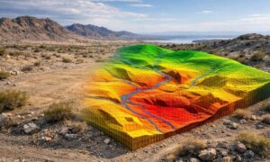
- Ensure they offer detailed reports with GPS data and CAD maps
A good surveyor should not only mark your boundaries but help you understand them.
Boundary Survey vs. Property Line Survey: What’s the Difference?
While the terms are often used interchangeably, there’s a slight distinction:
| Survey Type | Focus | Use Cases |
| Boundary Survey | Full property perimeter | Real estate transactions, legal cases |
| Property Line Survey | Just the shared lines with neighbors | Fence installations, minor disputes |
Choose the one that fits your situation—but for buying property, a full boundary survey is recommended.
How Boundary Surveys Help Real Estate Transactions
A boundary survey can be a deal-maker. It:
- Confirms property size for appraisals
- Satisfies lender and title company requirements
- Assists in price negotiations if encroachments exist
- Speeds up closing by removing uncertainties
This document is often required for title insurance and financing, especially for high-value or commercial properties.
Conclusion: Invest Smart with a Boundary Survey
Buying property without knowing exactly what you’re getting is like driving blindfolded. A boundary survey removes the guesswork, safeguards your investment, and gives you peace of mind. Whether it’s a cozy lot in Phoenix or acres of undeveloped land in Flagstaff, make a survey your first step—not an afterthought.
FAQs
Q1: How long does a boundary survey take?
A typical survey takes 1–2 weeks, depending on the property size and availability of records.
Q2: Is a boundary survey legally binding?
Yes. When conducted by a licensed surveyor, it’s a legally recognized document.
Q3: Do I still need a boundary survey if the lot is fenced?
Yes. Fences are often placed inaccurately and may not reflect true property lines.
Q4: Can a survey help in resolving disputes with neighbors?
Absolutely. A survey offers legal clarity and can be used in mediation or court.
Q5: Will the surveyor mark the boundaries physically?
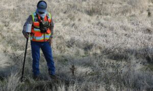
Yes. Most surveys include stakes or markers at key points along the boundary.
Q6: Is a previous survey sufficient?
Only if it’s recent and conditions haven’t changed. Otherwise, a new survey is advised.