If you own property in Kingman, you know the desert landscape can surprise you. Most of the year it’s dry, but when heavy rain hits, water doesn’t soak in—it moves fast. Washes fill, drainage systems back up, and neighborhoods near low-lying areas see water rising quickly. That’s why FEMA, insurance companies, and the City of Kingman all rely on one key document: the Flood Elevation Certificate.
The tricky part? Most people aren’t sure where to begin. Should you call the county? Your insurance company? Or go straight to a surveyor? The process can feel confusing if you’ve never done it before.
The good news is, getting a Flood Elevation Certificate doesn’t have to be overwhelming. Once you understand the steps, it’s a clear and manageable process. In this guide, we’ll walk through how it works, who needs it in Kingman, why a licensed surveyor is required, and what you can expect in terms of time and cost.
What a Flood Elevation Certificate Actually Does
At its core, a Flood Elevation Certificate shows how your home or building sits compared to the base flood elevation on FEMA’s official maps. Insurance companies use it to calculate your flood risk. Lenders rely on it before approving mortgages in flood zones. And local officials may require it before they issue building permits.
Think of it this way: without a certificate, insurance companies often assume the highest risk. That can mean paying much more for coverage than necessary. With the certificate, you have accurate data that proves your property’s true elevation and risk level.
Who Needs a Flood Elevation Certificate
Not every property requires one, but many do. Here are the most common situations where a Flood Elevation Certificate is necessary:
- Homebuyers in flood zones – If you’re buying near a wash or in a FEMA-designated floodplain, your lender will likely ask for one.
- Homeowners renewing flood insurance – Your insurance company may require an updated certificate, especially if flood maps have changed.
- Builders and developers – Before you can get a permit for new construction, the City of Kingman often wants proof of elevation.
- Commercial property owners – Businesses in high-risk areas must provide certificates for both insurance and compliance reasons.
If you fall into any of these groups, it’s not about whether you’ll need a certificate—it’s about making sure you get it the right way.
Steps to Get a Flood Elevation Certificate
Here’s the straightforward process most property owners follow:
Step 1: Check if one already exists.
Before hiring anyone, the previous owner. Sometimes a certificate is already on file, which saves time and money.
Step 2: Hire a licensed land surveyor.
If no record exists, the next step is hiring a professional. Only a licensed land surveyor can legally prepare and certify a Flood Elevation Certificate.
Step 3: Schedule a site visit.
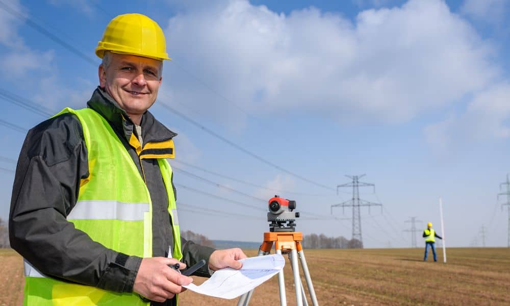
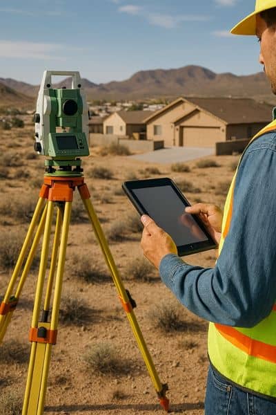
The surveyor will visit your property and measure critical points like foundation levels, lowest floor elevations, and surrounding grades. These details determine your property’s flood risk.
Step 4: Certificate preparation.
After the site work, the surveyor completes the official FEMA form. This isn’t just a sketch or report—it’s a standardized document insurers and lenders recognize.
Step 5: Submit the certificate.
Once finished, you’ll receive the certificate. From there, you provide it to your insurance company, lender, or the city, depending on why you needed it. Always keep a copy for your records.
Why a Licensed Land Surveyor Matters
Some property owners wonder why FEMA insists on using licensed surveyors. The reason is accuracy. Elevation measurements need to be exact because even small errors can lead to big consequences—like denied permits, delayed approvals, or inflated insurance premiums.
A licensed land surveyor brings both the right equipment and the authority to certify the data. Without their stamp, the form isn’t valid. So while it may be tempting to cut corners, the only safe (and legal) way to get a Flood Elevation Certificate is to hire a qualified surveyor.
Timeline and What Affects Cost
How long does it take? In most cases, a surveyor can complete the process in just a few days to a couple of weeks. The exact timeline depends on scheduling, property size, and accessibility.
Costs can vary as well. Larger parcels, remote areas outside Kingman, or properties with unusual terrain often take longer to survey and therefore cost more. Rush requests can also add to the price if you need the certificate quickly. That’s why many property owners in Kingman look for affordable land survey services that balance cost with the accuracy required for a FEMA Flood Elevation Certificate.
Here’s the bottom line: trying to save money by choosing the cheapest option can backfire. An inaccurate or incomplete certificate can lead to higher premiums, permit denials, or even insurance claims being rejected. Investing in a quality survey upfront protects you long term.
Common Concerns About the Process
When property owners first hear they need a Flood Elevation Certificate, a few worries usually come up. The first is whether they need to be present during the survey. In most cases, the answer is no. As long as the surveyor has proper access to the property, they can take all the necessary measurements without you being there.
Another concern is what happens if the results show that a property sits in a high-risk zone. Unfortunately, the numbers don’t lie. This may mean higher insurance premiums, but it also gives you the clarity to take action. Some homeowners choose to make improvements, such as raising utilities or adjusting drainage, to reduce their risk and possibly lower future costs.
Finally, many people ask if they’ll need to update the certificate every year. The good news is that you don’t. Once a certificate is issued, it remains valid unless something major changes—like a remodel, an addition to the property, or updated FEMA flood maps that affect your zone.
Final Thoughts
A Flood Elevation Certificate may sound like just another piece of red tape, but for homeowners, buyers, and developers, it’s essential. It ensures compliance with FEMA rules, helps you secure affordable flood insurance, and gives you peace of mind knowing where your property really stands.
The process itself is simple once you know the steps: check for an existing certificate, hire a licensed surveyor, schedule the survey, get the official form, and submit it where needed. That’s it.
If you need a certified Flood Elevation Certificate, don’t wait until the next storm season or insurance deadline. Work with a professional land surveyor who provides reliable service and ensures your certificate meets FEMA and insurance standards.
