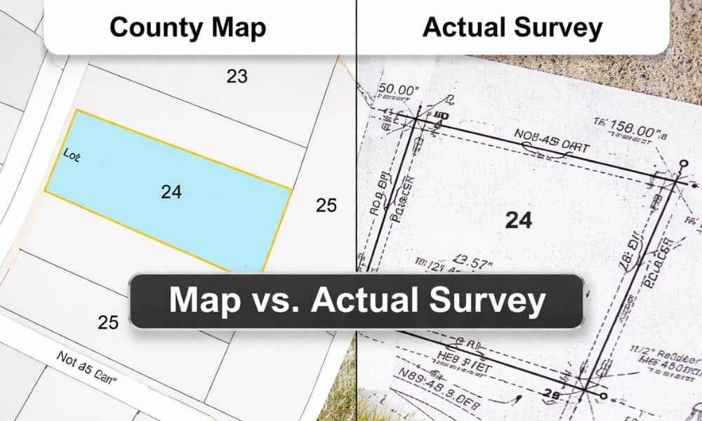
If you’ve ever looked up a property online, you’ve probably seen those clean lines on a county map and thought, “That looks pretty clear.” The lot shape seems simple. The boundaries look exact. It feels official. However, that confidence can be misleading. Many people rely on those maps before buying land or planning a project. Then later, they realize the lines on the screen don’t match what’s actually on the ground. That’s where problems begin. A property survey helps prevent that. It shows what is real, not just what appears online, so you can understand your exact property boundaries before making any decisions.
Why County Maps Can Be Misleading
County maps are easy to access, and they look detailed. Because of that, it’s natural to trust them. After all, they come from a government source, so they must be accurate, right?
Not exactly.
These maps are designed for general reference. They help you see where a property sits in relation to roads, nearby lots, and landmarks. Still, they do not confirm exact boundary lines. So before making any important decisions, it’s usually better to take the extra step of having a property surveyed, especially when accuracy really matters.
Even small shifts on a digital map can turn into several feet in real life. That may not sound like much at first. However, when you’re dealing with land, even a few feet can make a big difference.
So while county maps are useful, they are not meant for final decisions.
What a Property Survey Actually Shows
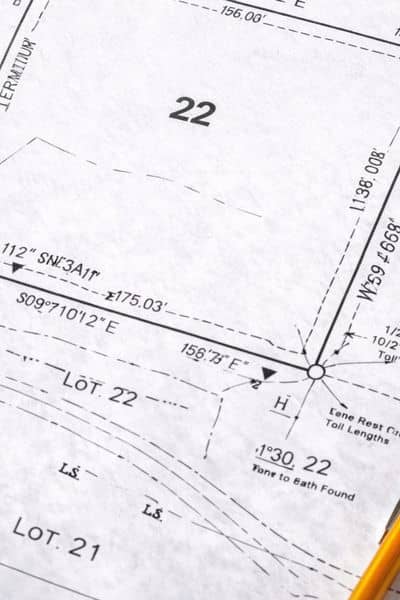
A property survey goes beyond what you see online. Instead of relying on visuals alone, it combines legal records with real measurements taken on-site.
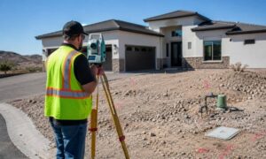
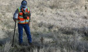
First, a surveyor reviews documents like deeds and recorded plats. Then, they visit the property and measure everything carefully. They also look for physical markers that define the corners of the land.
Because of this process, a survey shows the true boundary lines based on both records and fieldwork. It connects what is written on paper to what exists on the ground.
As a result, you get a clear and verified picture of the property—not an estimate.
The Difference Between Map Lines and Real Boundaries
At a glance, map lines and survey lines may look the same. However, they are very different.
Map lines are drawn based on data that may not be updated or field-checked. They give a general outline, but they don’t confirm exact positions.
On the other hand, a property survey uses precise measurements and physical evidence. It shows where the boundary actually falls in relation to the land itself.
So while a map might suggest a straight, clean edge, the real boundary could shift slightly once measured. That difference is easy to miss online but very important in real life.
Why This Matters in Lake Havasu
Lake Havasu has many open and undeveloped lots. At first, these properties may look simple. There are often no fences, no buildings, and no clear signs of where one property ends and another begins.
Because of that, people often rely on maps to understand the layout.
However, open land can make things more confusing. Without visible markers, it’s easy to assume the boundaries based on what you see online. Then later, when plans move forward, the true lines may not match those assumptions.
This is especially important in areas where land is being developed or improved. Small differences in boundary location can affect planning, layout, and future use.
How a Property Survey Helps You Avoid Surprises
Before making decisions about a property, it helps to know exactly what you’re working with. That’s where a property survey becomes valuable.
It confirms the true shape and size of the land. It also helps identify any differences between recorded information and what exists on-site.
Because of that, you can move forward with more confidence. Instead of guessing, you’re working with verified data.
That clarity helps you avoid unexpected issues later on. It also makes planning smoother from the start.
What to Expect From the Process
If you’ve never ordered a survey before, the process is more straightforward than you might think.
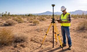
A surveyor begins by reviewing records tied to the property. After that, they visit the site to take measurements and locate boundary points. Then, they compare the findings and prepare a final survey.
The result shows the verified boundaries and key details about the land.
Because this process includes both research and fieldwork, it provides a reliable view of the property.
Why a Licensed Surveyor Makes a Difference
Accuracy matters when it comes to land. A licensed surveyor has the training to interpret legal descriptions and match them with real-world measurements.
In Lake Havasu, local experience also helps. Surveyors understand the terrain and common property layouts in the area. Because of that, they can spot details that might not be obvious at first glance.
Working with a licensed professional gives you confidence that the information is correct and dependable.
Final Thoughts
County maps are helpful tools. They give you a general idea of where a property is located. However, they are not meant to show exact boundaries.
A property survey provides that missing clarity. It verifies the lines on the ground and connects them to legal records. That difference matters more than many people realize.
So before relying on what you see online, take the time to confirm it. A survey gives you a clear understanding of your property—and helps you make better decisions moving forward.