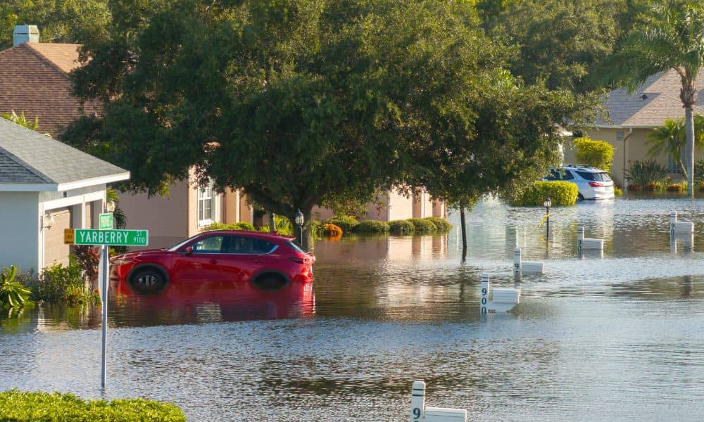
When monsoon season hits, the storms don’t always last long, but the damage they leave behind can be life-changing. Just recently, flash floods swept through parts of the state, leading to road closures and even a fatality. In Mohave County, warnings from the National Weather Service reminded everyone how quickly the desert can turn dangerous. For homeowners, one tool can make a major difference in preparing for these risks: the elevation certificate.
An elevation certificate is more than just a form. It’s a document that shows how your home sits compared to the official flood level set by FEMA, called the Base Flood Elevation (BFE). Lenders, insurers, and city officials all use this certificate to decide your flood risk, insurance costs, and even whether you can start certain building projects. In a city like Bullhead, where the Colorado River and desert washes meet, this paperwork can save you thousands of dollars and give you peace of mind.
Why Bullhead City is Prone to Flash Floods
Many people imagine the desert as dry and flat, but Bullhead City has unique challenges. The ground here doesn’t soak up water easily. When heavy rain falls during a monsoon, it races downhill across hard soil and fills washes in minutes. Add in the Colorado River running through the city and you have a recipe for sudden, fast-moving floods.
Development has made things even trickier. As more homes, roads, and businesses are built, natural ground is replaced with concrete and asphalt. This creates more runoff, which overwhelms drainage systems and increases the chance of localized flooding. Homeowners who think they’re safe because they’ve never seen water on their property may be taking a risky bet.
What an Elevation Certificate Does
So how does an elevation certificate fit into this? At its core, it’s proof of your home’s true elevation compared to FEMA’s flood level. If your lowest floor sits above the BFE, you may qualify for lower flood insurance rates. If it’s below, the certificate still helps by giving you accurate data to make improvements or apply for certain FEMA programs.
Without this certificate, insurers often assume the worst and place you in a high-risk category. That means higher premiums and fewer options when shopping for coverage. Lenders may also delay closings on mortgages until they have a valid certificate in hand. In short, it’s not just paperwork—it’s financial protection.
Real Savings for Homeowners
The financial impact is one of the biggest reasons homeowners should care about getting an elevation certificate. Imagine paying thousands in insurance premiums each year because your property is assumed to be in the highest risk zone. Then, with one survey, you discover your home is actually well above the flood level. That small investment could slash your insurance costs for years.
In some cases, homeowners can even request a Letter of Map Amendment (LOMA) from FEMA. This is a ruling that officially removes your property from the Special Flood Hazard Area if your elevation proves it sits high enough. That means no more mandatory flood insurance and a big boost in your property’s resale value. But the first step toward a LOMA is always an elevation certificate.
How Homeowners Can Check Their Risk
You don’t have to be a surveyor to take the first step. Several free tools can help you understand your flood risk before ordering a certificate:
- FEMA’s Flood Map Service Center lets you type in your address and see your property’s flood zone.
- The Flood Control District provides local floodplain resources.
- Floodplain Management can confirm requirements for building permits or insurance.
These tools won’t replace a certified survey, but they do give you a snapshot of your risk. If your home appears in or near a Special Flood Hazard Area, ordering an elevation certificate is the only way to get exact numbers.
Beyond Insurance: Other Benefits
While saving money is important, the benefits go beyond lower premiums. An elevation While saving money is important, the benefits go beyond lower premiums. An elevation certificate also:
- Helps with construction planning. Builders and engineers use it to design safe drainage and foundation systems.
- Keeps you compliant. Bullhead City requires accurate elevation data for permits in flood-prone areas. That’s why many property owners rely on professional land surveying for floodplain approvals when planning new projects.
- Protects future sales. Buyers feel more confident knowing your property comes with documented flood data.
- Provides peace of mind. Instead of guessing, you’ll know exactly how your property sits compared to flood levels.
Why the Timing Matters Now
Monsoon season isn’t going away, and the last few years have shown how unpredictable Arizona weather can be. Floods can appear where they’ve never been before, catching homeowners off guard. With warnings already issued this year, waiting could be costly.
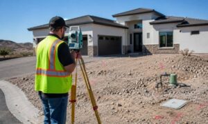
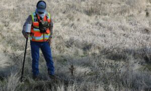
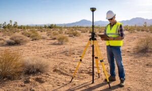
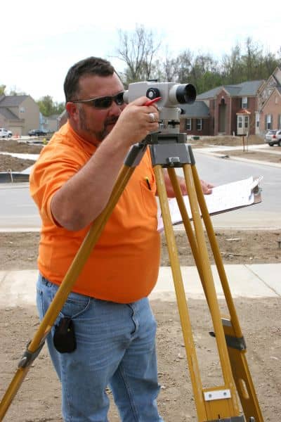
The good news is that getting an elevation certificate is straightforward. A licensed land surveyor visits your property, takes precise measurements, and prepares the official FEMA form. Once you have it, you can use it for insurance, loans, or building permits. Best of all, it’s valid for years unless you make major changes to your property.
Taking the Next Step
Bullhead City may feel safe most of the year, but when the skies open up, the risks become real. An elevation certificate is a small step that can have a huge impact. It saves money, speeds up closings, and most importantly, gives you clarity about your home’s safety.
When the desert sky changes, peace of mind matters most. Taking time to understand your flood risk today can spare you stress later. An elevation certificate gives you clear answers and helps you make smart decisions about your home and your budget.