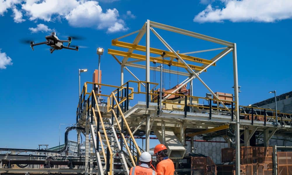
The way survey drones work in the United States could soon change. Earlier this month, the Federal Aviation Administration (FAA) finished collecting public comments on a new rule that may let drone pilots fly Beyond Visual Line of Sight (BVLOS). For surveyors, this could mean covering more ground in less time. The rule, called Part 108, would bring big updates to how survey drones are used for construction, mapping, and boundary work.
Why This FAA Update Matters
Right now, most drone pilots must keep their aircraft in sight during every flight. That rule makes sense for hobby flyers, but it slows down surveyors who map large job sites or long roads. When crews must stop and move again every few hundred feet, the day gets longer—and more expensive.
The FAA’s new Part 108 BVLOS plan would change that. It could allow trained pilots to fly drones farther than they can see, as long as they follow safety steps. Drones would also have to use a digital signal, called electronic conspicuity, that helps other aircraft spot them in the sky. If approved, this would make survey drones faster, smarter, and more useful for engineers and builders.
What Surveyors Are Saying
Surveyors and drone operators are paying close attention. Many are excited about the chance to do more work in fewer flights. For example, imagine mapping a long desert road or a large subdivision without having to move your control station every few minutes. That saves time, fuel, and effort—while giving clients better data.
But some people worry about the cost. To qualify for BVLOS flights, companies may need new transmitters, stronger batteries, and updated training. For small firms, those costs can add up quickly.
Groups like the Drone Service Providers Alliance and the Association for Uncrewed Vehicle Systems International want the FAA to keep the process fair and simple. They remind everyone that professional survey drones are not toys—they are accurate tools operated by trained crews.
How It Affects Construction and Boundary Work
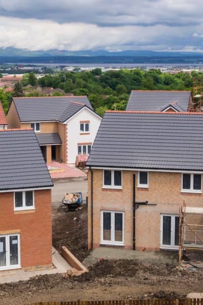
In Lake Havasu, where hills meet riverfront land, drone surveying is part of everyday construction. Builders use drones to track progress, check grades, and measure stockpiles. Boundary surveyors use them to mark property lines and locate corners without walking rough terrain.
The new BVLOS rule would help these teams fly longer routes without losing sight of the drone. That means:
- Faster results. Larger areas mapped in one flight.
- Better accuracy. Continuous data with fewer breaks.
- More safety. Less time walking near equipment or steep slopes.
For property owners and developers, that means surveys finished sooner and fewer delays before construction starts.
Rules Still Apply
Even with new freedom, surveyors must still follow current laws. In Arizona, drone pilots need:
- FAA Part 107 certification
- Remote ID-enabled drones
- Local approval for certain areas, especially near airports or public land
Lake Havasu City also has zones where drones can’t fly without permission. The BVLOS rule won’t remove these—it just adds more flexibility for trained, responsible pilots. Firms that start preparing now will be ready once the FAA finalizes the changes later this year.
Staying Visible and Accurate
A key part of the FAA’s plan is visibility. Under the new rule, drones must send out a digital signal showing who they are and where they’re flying. This makes it easier for other aircraft to avoid them, which is important when flights go beyond sight.
There’s also a growing concern about GPS reliability. The International Civil Aviation Organization recently warned about GPS jamming and spoofing in several parts of the world. Since most survey drones depend on GPS for pinpoint accuracy, even short interruptions can throw off results. That’s why many crews are now adding backup base stations and dual-frequency systems. These small upgrades protect data and keep surveys reliable.
How Surveyors Are Getting Ready
Across the Southwest, drone teams are already preparing for BVLOS. Instead of waiting, they’re:
- Reviewing pilot licenses and insurance.
- Upgrading drones for longer, safer flights.
- Talking with clients about how the new rule will cut turnaround times.
Forward-thinking surveyors see this as a chance to lead. Many are already testing new flight paths, updating software, and improving image quality to deliver clearer, faster results. By the time the FAA gives the green light, they’ll be ready with drone-based surveying solutions that make every construction and boundary project more efficient from start to finish.
What Clients Should Expect
For builders and homeowners, the upcoming change could make surveys quicker and more affordable. Projects that once took days may soon take only hours. Drone-based boundary checks will reach farther, giving a clearer view of large or uneven properties.
When hiring a surveyor, it’s worth asking:
- Do you fly under FAA Part 107?
- Are your drones Remote ID-ready?
- Are you preparing for BVLOS operations?
Those questions help you find professionals who value safety, accuracy, and technology. A surveyor who uses survey drones the right way can save you time and money.
A Local View from Lake Havasu
Mohave County’s wide open spaces make it a great place for BVLOS testing. From hillside neighborhoods to desert infrastructure projects, aerial data helps planners make better decisions. With the FAA’s rule expected to move forward soon, surveyors could be among the first to benefit.
That means faster drainage studies, more accurate flood maps, and smoother construction schedules—all powered by drones flying a little farther than before.
Looking Ahead
Change is coming to the skies, and it’s not just about gadgets—it’s about smarter work. The FAA’s BVLOS proposal will give professionals more room to innovate while keeping safety first.
As rules evolve, survey drones will play a bigger role in how we design and build communities. They’re already changing the way surveyors gather data, and soon they’ll fly farther and work faster than ever.
By mid-October, the comment period may be over, but the discussion is just beginning. For surveyors, this is the moment to prepare, invest, and lead the next era of aerial surveying.

