Drone Land Surveying That Helps You Beat Market Uncertainty
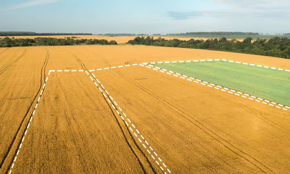
The real estate market feels unpredictable right now. Prices rise one week and drop the next. Some buyers rush to close, while others wait and hope for better deals. In moments like this, landowners need clear and updated information. That’s where drone land surveying becomes helpful. This modern tool gives landowners a better picture of […]
Why Duplex Growth Is Driving Property Survey Demand
Phoenix is changing fast, and many homeowners are now thinking about adding units to their properties. Some want to split their lots, while others want to turn a single-family home into a duplex or triplex. Because of this shift, one term is becoming more important than ever: property survey. In fact, it is becoming one […]
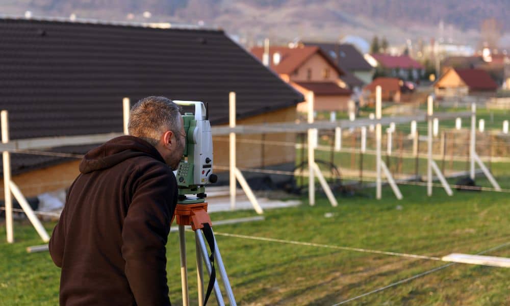
Block Wall Planning with a Construction Staking Survey
If you’re planning to build or replace a block wall, one thing can save you from stress, neighbor issues, and expensive mistakes: a construction staking survey. Most homeowners don’t realize how easy it is to place a wall even a few inches off the property line. Once that happens, the fix isn’t simple—you may need […]