A Fence Turns Into a Feud
It often starts with something simple — a homeowner in Bullhead City decides to replace an old, leaning fence. But without a boundary survey to confirm the exact property lines, even a small project can quickly turn into a big problem. A few days after the posts go in, the neighbor insists the fence sits on their side of the property
What was meant to be a quick home improvement soon becomes a tense argument. Both sides believe they’re right. However, without proof, the disagreement can drag on for weeks or even months. This is exactly where a boundary survey steps in to bring clarity and peace of mind for Arizona property owners.
What Is a Boundary Survey?
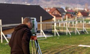
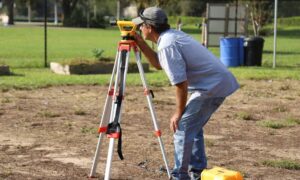
A boundary survey is a detailed measurement of a property’s exact lines and corners. A licensed land surveyor performs the work, identifying the legal boundaries of a lot along with any features that affect those boundaries.
Surveyors use precise tools and property records to deliver accurate results. As a result, you receive an official map or report that clearly marks where your land begins and ends. This documentation serves as the most reliable reference in any property line dispute — whether you live near the Colorado River, in a golf course community, or in the foothill neighborhoods of Bullhead City.
Why Fences Often Cause Disputes
Fence disagreements happen often in Arizona neighborhoods. Here’s why:
- Many fences went up years ago without a survey.
- Property markers can get lost, buried, or moved over time.
- Homeowners sometimes rely on landscaping, sidewalks, or verbal agreements as “markers.”
- Deeds and maps may contain outdated or unclear information.
Because of these factors, a fence might not match the true property line. This is when a boundary survey becomes essential.
How a Boundary Survey Solves the Problem
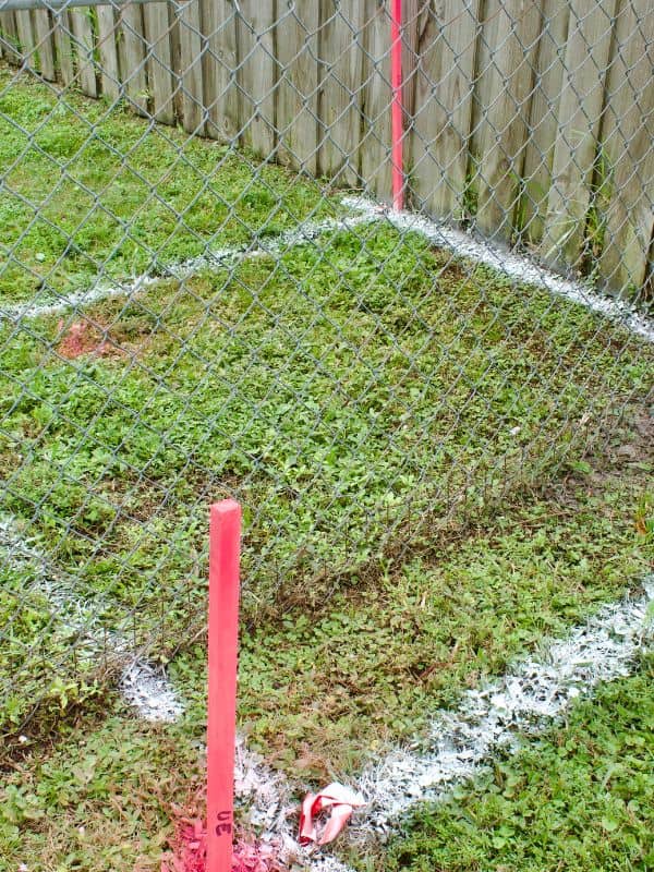
When neighbors disagree about where the property line lies, a boundary survey provides the answer. For example, the survey might reveal that the fence is correctly placed, or it might show that it crosses slightly into the other yard.
The key benefit is that it relies on legal records and precise measurements, not opinions. Consequently, both parties can trust the results and move forward — whether that means adjusting the fence or confirming it’s correct. In Bullhead City, where property values continue to rise, having this clarity also protects your investment.
The Process of Getting a Boundary Survey
Ordering a boundary survey in Bullhead City is straightforward:
- Hire a licensed surveyor who understands Arizona property laws.
- Provide property documents such as your deed or title.
- Allow the surveyor to measure your lot using professional tools like GPS and total stations.
- Receive the final report and map that mark your exact boundaries.
By following these steps, you resolve disputes and secure official documentation for future reference.
Benefits Beyond Fence Fights
While a boundary survey is the best way to end a fence dispute, it has many other uses for Bullhead City homeowners:
- Confirming boundaries before buying or selling property.
- Protecting against encroachments from neighbors or developers.
- Ensuring construction projects meet zoning and setback rules in Arizona.
- Avoiding costly court battles over land ownership.
If you’re dealing with larger property transactions or need more comprehensive documentation beyond a boundary survey, consider ordering an ALTA Land Title Survey in Arizona for detailed mapping and compliance with commercial property survey standards.
FAQs About Boundary Surveys
Q1: How much does a boundary survey cost in Bullhead City?
The cost depends on property size, location, and complexity. However, it’s usually a small price compared to potential legal fees.
Q2: Can I use an old survey for a dispute?
You can try, but older surveys might not reflect current property markers or updated records.
Q3: Will the surveyor mark my property lines?
Yes, most surveyors place visible stakes or markers at the corners.
Q4: Can a boundary survey be used in court?
Absolutely — courts accept it as credible legal evidence.
Q5: How long does it take to complete?
Most surveys finish within a few days to a week, depending on scheduling and property size.
Conclusion – Keep the Peace With Clarity
A fence dispute doesn’t have to ruin neighborly relationships. With a boundary survey in Bullhead City, you gain clear, accurate information backed by legal standards. This single step can prevent arguments, protect your property, and give you peace of mind before you build, replace, or move a fence.
If you’re ready to get started, reach out to Bullhead City Land Surveying for professional surveying services tailored to local property needs.
